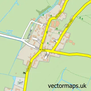
This Popes Hill street map is a detailed vector street map covering a 750m x 750m area. Select a larger area to create and download your own vector street map of Popes Hill.
The 750-metre map sample for Popes Hill covers 94 mapped buildings and approximately 30.8 km of road detail, of which 2 named roads are named. The immediate area includes 1 pub and 1 MOT station, with 2 within 2 miles. The wider area around Popes Hill features 1 tourism point of interest and 1 food and drink venue. To create a larger or custom map of Popes Hill, the map builder lets you define your own coverage area and download editable SVG, PDF and PNG files.
Create a larger editable map of Popes Hill
Choose any area you need and generate a high-quality vector map instantly. Perfect for print, planning, design, business and personal use.

This Popes Hill street map in Gloucestershire is available as downloadable SVG, PDF and PNG map files, or as a printed map for planning, business, display, education, local information and design work. You can also create a larger custom map area using the map selector.
What this Popes Hill map sample shows
Popes Hill lies within Blaisdon Cp parish, part of Westbury-On-Severn ward in the Forest Of Dean District local authority area. The postcode geography for this area includes the GL postcode area, the GL14 postcode district and the GL14 1 postcode sector. Residents fall under the Nhs Gloucestershire Integrated Care Board for NHS services.
Local features near Popes Hill
Within 2 milesAmenities and services in and around Popes Hill.
Administrative and postcode information for Popes Hill
Popes Hill lies within Blaisdon Cp parish, part of Westbury-On-Severn ward in the Forest Of Dean District local authority area. The postcode geography for this area includes the GL postcode area, the GL14 postcode district and the GL14 1 postcode sector. Residents fall under the Nhs Gloucestershire Integrated Care Board for NHS services.
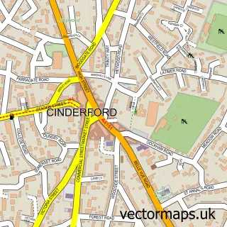
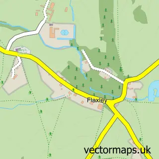
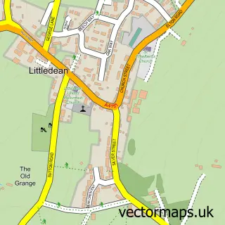
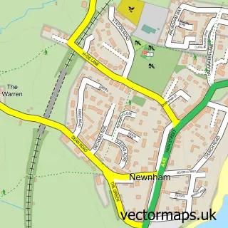
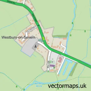
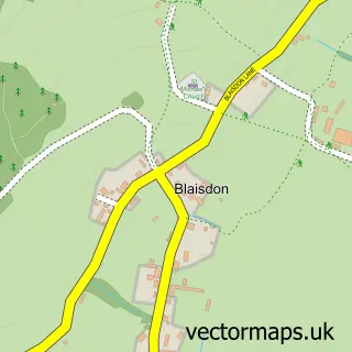
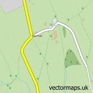
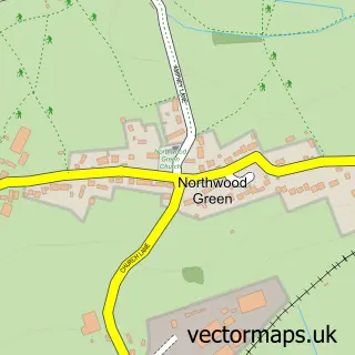
Nearby street map samples around Popes Hill

More street maps in Gloucestershire
750 metre map area coverage
Boundary, postcode and point of interest information for the 750m x 750m rectangle centred on this sample map.
Boundaries containing map centre
Constituency: Forest of Dean Co Const
County: Gloucestershire County
District: Forest of Dean District
Icb: NHS Gloucestershire ICB
Parish: Littledean CP
Police Force: gloucestershire
Postcode District: GL14
Postcode Sector: GL14 1
Ward: Newnham Ward
Nearby boundaries intersecting sample
Parish: Blaisdon CP, Westbury-on-Severn CP
Ward: Westbury-on-Severn Ward
Postcode coverage
POI category counts
Campground: 1
Community Center: 1
Flowers And Gifts Shop: 1
Forest: 1
Miniature Golf Course: 1
Paintball: 1
Pilates Studio: 1
Professional Services: 1
Pub: 1
Used Car Dealer: 1
Sample points of interest
- Wellingtonia Campervan & Caravan Night Stop
- Newnham Armoury Village Hall
- Spellbound Shop
- Forest of Dean
- Forest of Dean Adventure Golf
- Go Ballistic
- Pilates with Esther
- Elton Motors
- The Greyhound Inn
- Forest Motors
Create a larger editable map of Popes Hill
This sample shows only a 750 metre area. To create a larger map of Popes Hill, use our map builder to choose your own coverage area, add titles and download editable SVG, PDF and PNG files.
Create a custom map of Popes Hill