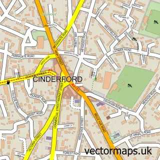
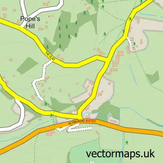
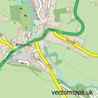
This Ruspidge street map is a detailed vector street map covering a 750m x 750m area. Select a larger area to create and download your own vector street map of Ruspidge.
The 750-metre map sample for Ruspidge covers 335 mapped buildings and approximately 27.2 km of road detail, of which 18 named roads are named. The immediate area includes 2 GP surgeries within 2 miles, 1 pub and 4 MOT stations within 2 miles. The wider area around Ruspidge features 2 tourism points of interest and 1 food and drink venue. To create a larger or custom map of Ruspidge, the map builder lets you define your own coverage area and download editable SVG, PDF and PNG files.
Create a larger editable map of Ruspidge
Choose any area you need and generate a high-quality vector map instantly. Perfect for print, planning, design, business and personal use.

This Ruspidge street map in Gloucestershire is available as downloadable SVG, PDF and PNG map files, or as a printed map for planning, business, display, education, local information and design work. You can also create a larger custom map area using the map selector.
What this Ruspidge map sample shows
Ruspidge lies within Ruspidge And Soudley Cp parish, part of Ruspidge ward in the Forest Of Dean District local authority area. The postcode geography for this area includes the GL postcode area, the GL14 postcode district and the GL14 3 postcode sector. Residents fall under the Nhs Gloucestershire Integrated Care Board for NHS services.
Local features near Ruspidge
Within 2 milesAmenities and services in and around Ruspidge.
Administrative and postcode information for Ruspidge
The local authority covering Ruspidge is Forest Of Dean District, within the county of Gloucestershire. The settlement lies within Ruspidge ward and Ruspidge And Soudley Cp civil parish. The GL14 postcode district and GL14 3 postcode sector serve the immediate area. NHS provision in the area is delivered through Gloucestershire Hospitals Nhs Foundation Trust.
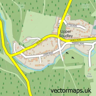
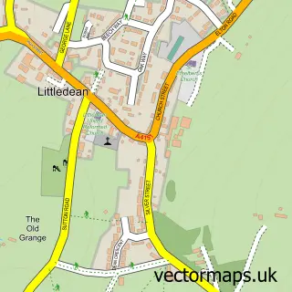
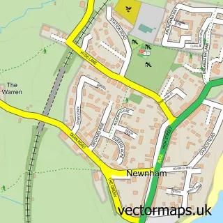
Nearby street map samples around Ruspidge

More street maps in Gloucestershire
750 metre map area coverage
Boundary, postcode and point of interest information for the 750m x 750m rectangle centred on this sample map.
Boundaries containing map centre
Constituency: Forest of Dean Co Const
County: Gloucestershire County
District: Forest of Dean District
Icb: NHS Gloucestershire ICB
Parish: Ruspidge and Soudley CP
Police Force: gloucestershire
Postcode District: GL14
Postcode Sector: GL14 3
Ward: Ruspidge Ward
Nearby boundaries intersecting sample
Ward: Newnham Ward
Postcode coverage
POI category counts
Landmark And Historical Building: 2
Retirement Home: 2
Assisted Living Facility: 1
Bar: 1
Beauty Salon: 1
Building Contractor: 1
Car Rental Agency: 1
Cosmetic And Beauty Supplies: 1
Dog Trainer: 1
Electrician: 1
Sample points of interest
- Hobbits Holt
- Rising Sun Inn
- Art of Hair at the ROOM
- Nice Blinds
- Vintage Escapes uk
- Frenchie Cosmetics
- FineK9
- Breeze Electrical Solutions
- Ruspidge Fish and Chips
- M P Plumbing & Heating
- Buckshraft Mine & Bradley Hill Railway Tunnel
- Ruspidge Memorial Hall
Create a larger editable map of Ruspidge
This sample shows only a 750 metre area. To create a larger map of Ruspidge, use our map builder to choose your own coverage area, add titles and download editable SVG, PDF and PNG files.
Create a custom map of Ruspidge