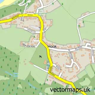
This Crundale street map is a detailed vector street map covering a 750m x 750m area. Select a larger area to create and download your own vector street map of Crundale.
The 750-metre map sample for Crundale covers 332 mapped buildings and approximately 14.4 km of road detail, of which 13 named roads are named. The immediate area includes 6 MOT stations within 2 miles. The wider area around Crundale features 1 tourism point of interest. To create a larger or custom map of Crundale, the map builder lets you define your own coverage area and download editable SVG, PDF and PNG files.
Create a larger editable map of Crundale
Choose any area you need and generate a high-quality vector map instantly. Perfect for print, planning, design, business and personal use.

This Crundale street map in Dyfed is available as downloadable SVG, PDF and PNG map files, or as a printed map for planning, business, display, education, local information and design work. You can also create a larger custom map area using the map selector.
What this Crundale map sample shows
Crundale lies within Rudbaxton Community parish, part of Rudbaxton ward in the Sir Benfro - Pembrokeshire local authority area. The postcode geography for this area includes the SA postcode area, the SA62 postcode district and the SA62 4 postcode sector. Residents fall under the Hywel Dda University Health Board for NHS services.
Local features near Crundale
Within 2 milesAmenities and services in and around Crundale.
Administrative and postcode information for Crundale
Crundale lies within Rudbaxton Community parish, part of Rudbaxton ward in the Sir Benfro - Pembrokeshire local authority area. The postcode geography for this area includes the SA postcode area, the SA62 postcode district and the SA62 4 postcode sector. Residents fall under the Hywel Dda University Health Board for NHS services.
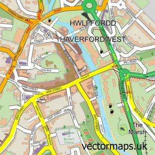
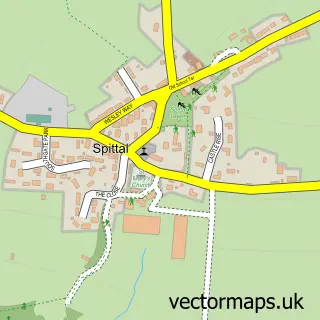
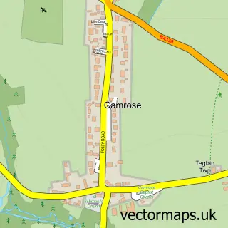
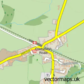
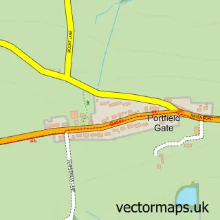
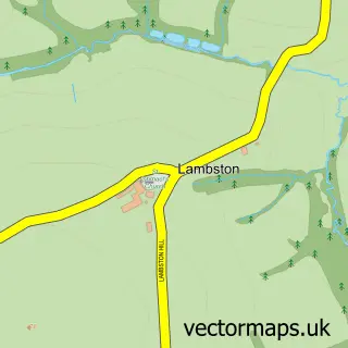
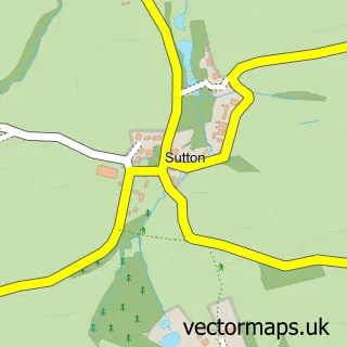
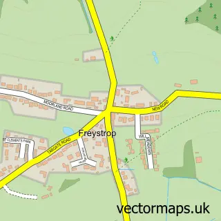
Nearby street map samples around Crundale

More street maps in Dyfed
750 metre map area coverage
Boundary, postcode and point of interest information for the 750m x 750m rectangle centred on this sample map.
Boundaries containing map centre
Constituency: Mid and South Pembrokeshire Co Const
District: Sir Benfro - Pembrokeshire
Icb: Hywel Dda
Parish: Rudbaxton Community
Police Force: dyfed-powys
Postcode District: SA62
Postcode Sector: SA62 4
Nearby boundaries intersecting sample
No additional intersecting boundaries found.
Postcode coverage
POI category counts
Post Office: 2
Accommodation: 1
Building Supply Store: 1
Business Office Supplies And Stationery: 1
Community Center: 1
Driving School: 1
Garage Door Service: 1
Park: 1
Pet Services: 1
Professional Services: 1
Sample points of interest
- Ginger Hill - Camping and Fishing
- GRC Plumbing
- Andy's Pens
- Crundale Community Centre
- LEAP Driving School
- The Garage Workshop
- Crundale Park
- The Pet Hotel
- Crundale Post Office
- Post Office
- Wash and Mow
- Newbridge Nursery and Plant Centre
Create a larger editable map of Crundale
This sample shows only a 750 metre area. To create a larger map of Crundale, use our map builder to choose your own coverage area, add titles and download editable SVG, PDF and PNG files.
Create a custom map of Crundale