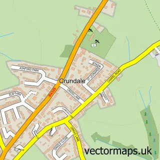
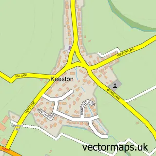
This Haverfordwest street map is a detailed vector street map covering a 750m x 750m area. Select a larger area to create and download your own vector street map of Haverfordwest.
The 750-metre map sample for Haverfordwest covers 235 mapped buildings and approximately 24.9 km of road detail, of which 62 named roads are named. The immediate area includes 12 pubs and 2 MOT stations, with 12 within 2 miles. The wider area around Haverfordwest features 5 tourism points of interest, 30 food and drink venues and 10 hotels. To create a larger or custom map of Haverfordwest, the map builder lets you define your own coverage area and download editable SVG, PDF and PNG files.
Create a larger editable map of Haverfordwest
Choose any area you need and generate a high-quality vector map instantly. Perfect for print, planning, design, business and personal use.

This Haverfordwest street map in Dyfed is available as downloadable SVG, PDF and PNG map files, or as a printed map for planning, business, display, education, local information and design work. You can also create a larger custom map area using the map selector.
What this Haverfordwest map sample shows
Haverfordwest lies within Haverfordwest Community parish, part of Haverfordwest: Priory ward in the Sir Benfro - Pembrokeshire local authority area. The postcode geography for this area includes the SA postcode area, the SA61 postcode district and the SA61 1 postcode sector. Residents fall under the Hywel Dda University Health Board for NHS services.
Local features near Haverfordwest
Within 2 milesAmenities and services in and around Haverfordwest.
Administrative and postcode information for Haverfordwest
Haverfordwest lies within Haverfordwest Community parish, part of Haverfordwest: Priory ward in the Sir Benfro - Pembrokeshire local authority area. The postcode geography for this area includes the SA postcode area, the SA61 postcode district and the SA61 1 postcode sector. Residents fall under the Hywel Dda University Health Board for NHS services.
Nearby street map samples around Haverfordwest

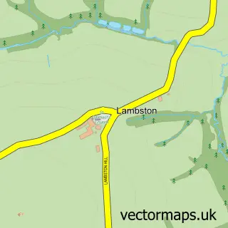
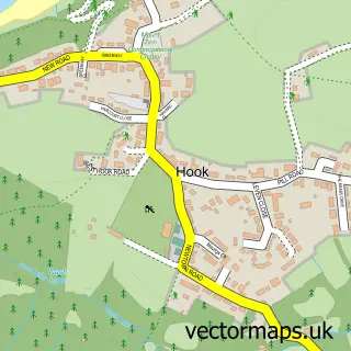
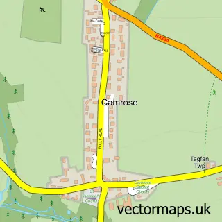
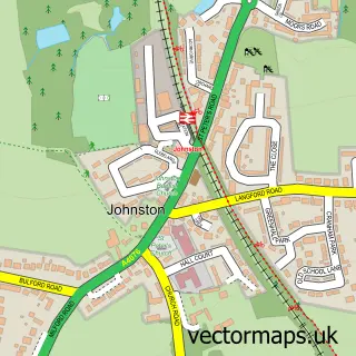
More street maps in Dyfed
750 metre map area coverage
Boundary, postcode and point of interest information for the 750m x 750m rectangle centred on this sample map.
Boundaries containing map centre
Constituency: Mid and South Pembrokeshire Co Const
District: Sir Benfro - Pembrokeshire
Icb: Hywel Dda
Parish: Haverfordwest Community
Police Force: dyfed-powys
Postcode District: SA61
Postcode Sector: SA61 2
Nearby boundaries intersecting sample
Postcode Sector: SA61 1
Postcode coverage
POI category counts
Clothing Store: 15
Beauty Salon: 12
Charity Organization: 12
Pub: 12
Professional Services: 11
Hotel: 10
Restaurant: 10
Flowers And Gifts Shop: 9
Hair Salon: 8
Real Estate Agent: 8
Sample points of interest
- Ashmole & Co
- Bevan & Buckland
- Dr China
- Connect Pembrokeshire
- PMR
- Margaret Williams
- R Blacklaw Jones
- The Ark
- St. John Ambulance Cymru
- St Mary's Church
- Cancer Research UK
- John Francis Ltd.
Create a larger editable map of Haverfordwest
This sample shows only a 750 metre area. To create a larger map of Haverfordwest, use our map builder to choose your own coverage area, add titles and download editable SVG, PDF and PNG files.
Create a custom map of Haverfordwest