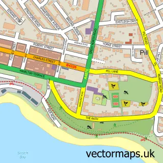
This Johnston street map is a detailed vector street map covering a 750m x 750m area. Select a larger area to create and download your own vector street map of Johnston.
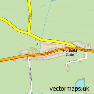
The 750-metre map sample for Johnston covers 292 mapped buildings and approximately 9.5 km of road detail, of which 19 named roads are named. The immediate area includes 1 school, 1 railway station, 1 GP surgery and 1 pub among other local services. The wider area around Johnston features 4 food and drink venues and 2 hotels. To create a larger or custom map of Johnston, the map builder lets you define your own coverage area and download editable SVG, PDF and PNG files.
Create a larger editable map of Johnston
Choose any area you need and generate a high-quality vector map instantly. Perfect for print, planning, design, business and personal use.

This Johnston street map in Dyfed is available as downloadable SVG, PDF and PNG map files, or as a printed map for planning, business, display, education, local information and design work. You can also create a larger custom map area using the map selector.
What this Johnston map sample shows
Johnston lies within Johnston Community parish, part of Johnston ward in the Sir Benfro - Pembrokeshire local authority area. The postcode geography for this area includes the SA postcode area, the SA62 postcode district and the SA62 3 postcode sector. Residents fall under the Hywel Dda University Health Board for NHS services.
Local features near Johnston
Within 2 milesAmenities and services in and around Johnston.
Administrative and postcode information for Johnston
Johnston lies within Johnston Community parish, part of Johnston ward in the Sir Benfro - Pembrokeshire local authority area. The postcode geography for this area includes the SA postcode area, the SA62 postcode district and the SA62 3 postcode sector. Residents fall under the Hywel Dda University Health Board for NHS services.
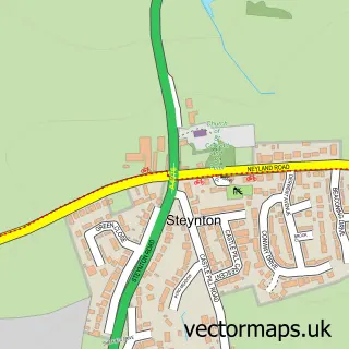
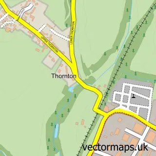
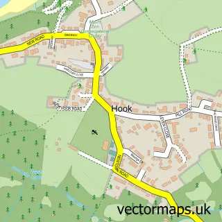
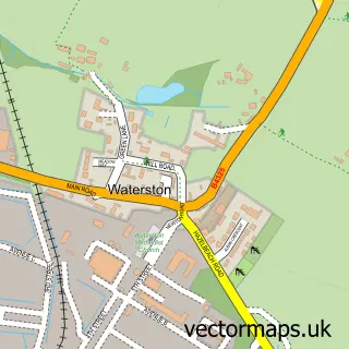
Nearby street map samples around Johnston

More street maps in Dyfed
750 metre map area coverage
Boundary, postcode and point of interest information for the 750m x 750m rectangle centred on this sample map.
Boundaries containing map centre
Constituency: Mid and South Pembrokeshire Co Const
District: Sir Benfro - Pembrokeshire
Icb: Hywel Dda
Parish: Johnston Community
Police Force: dyfed-powys
Postcode District: SA62
Postcode Sector: SA62 3
Nearby boundaries intersecting sample
No additional intersecting boundaries found.
Postcode coverage
POI category counts
Car Dealer: 3
Convenience Store: 3
Train Station: 3
Used Car Dealer: 3
Automotive Repair: 2
Bed And Breakfast: 2
Books Mags Music And Video: 2
Chiropractor: 2
Coffee Shop: 2
Contractor: 2
Sample points of interest
- Cloister Hall
- CCF Johnston Branch
- Snax 24 - Haverfordwest 782 (SWAP), Johnston
- Webuyanycar.com Haverfordwest
- T and S Motors
- T & S Motors
- Village Autos
- M. M. Carter Gardens & Leisure - Workshop
- Farmhouse Bakery
- Johnston Baptist Church
- Barber John's
- AnneMarie Beauty Enhanced
Create a larger editable map of Johnston
This sample shows only a 750 metre area. To create a larger map of Johnston, use our map builder to choose your own coverage area, add titles and download editable SVG, PDF and PNG files.
Create a custom map of Johnston