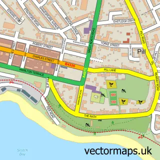
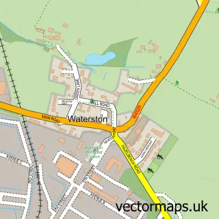
This Thornton street map is a detailed vector street map covering a 750m x 750m area. Select a larger area to create and download your own vector street map of Thornton.
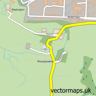
The 750-metre map sample for Thornton covers 96 mapped buildings and approximately 10.2 km of road detail, of which 3 named roads are named. The immediate area includes 1 MOT station, with 3 within 2 miles. The wider area around Thornton features 2 tourism points of interest, 1 food and drink venue and 1 campsite within 2 miles. To create a larger or custom map of Thornton, the map builder lets you define your own coverage area and download editable SVG, PDF and PNG files.
Create a larger editable map of Thornton
Choose any area you need and generate a high-quality vector map instantly. Perfect for print, planning, design, business and personal use.

This Thornton street map in Dyfed is available as downloadable SVG, PDF and PNG map files, or as a printed map for planning, business, display, education, local information and design work. You can also create a larger custom map area using the map selector.
What this Thornton map sample shows
Thornton lies within Milford Haven Community parish, part of Milford: North ward in the Sir Benfro - Pembrokeshire local authority area. The postcode geography for this area includes the SA postcode area, the SA73 postcode district and the SA73 1 postcode sector. Residents fall under the Hywel Dda University Health Board for NHS services.
Local features near Thornton
Within 2 milesAmenities and services in and around Thornton.
Administrative and postcode information for Thornton
The local authority covering Thornton is Sir Benfro - Pembrokeshire, within the county of Dyfed. The settlement lies within Milford: North ward and Milford Haven Community civil parish. The SA73 postcode district and SA73 1 postcode sector serve the immediate area. NHS provision in the area is delivered through Hywel Dda University Health Board.
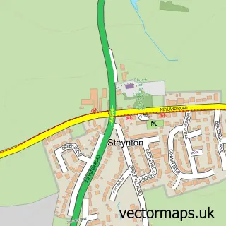
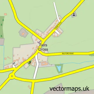
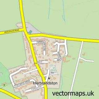
Nearby street map samples around Thornton

More street maps in Dyfed
750 metre map area coverage
Boundary, postcode and point of interest information for the 750m x 750m rectangle centred on this sample map.
Boundaries containing map centre
Constituency: Mid and South Pembrokeshire Co Const
District: Sir Benfro - Pembrokeshire
Icb: Hywel Dda
Parish: Tiers Cross Community
Police Force: dyfed-powys
Postcode District: SA73
Postcode Sector: SA73 3
Nearby boundaries intersecting sample
Parish: Milford Haven Community
Postcode Sector: SA73 2
Postcode coverage
POI category counts
Building Supply Store: 3
Automotive Repair: 2
Furniture Store: 2
Home Goods Store: 2
Landmark And Historical Building: 2
Breakfast And Brunch Restaurant: 1
Business Management Services: 1
Cafe: 1
Civil Engineers: 1
Construction Services: 1
Sample points of interest
- G&G Paintworks & wheel specialist wales
- Total Coat ltd
- The Ships Cafe
- Smith (Pembrokeshire) Group Ltd
- Travis Perkins
- Travis Perkins
- Barrett's Graphic Design
- Captains Cove
- Austwel Ltd.
- Smith Group
- Rhyal Engineering Ltd
- Sticks & Stones Interiors
Create a larger editable map of Thornton
This sample shows only a 750 metre area. To create a larger map of Thornton, use our map builder to choose your own coverage area, add titles and download editable SVG, PDF and PNG files.
Create a custom map of Thornton