This Milford Haven street map is a detailed vector street map covering a 750m x 750m area. Select a larger area to create and download your own vector street map of Milford Haven.
The 750-metre map sample for Milford Haven covers 395 mapped buildings and approximately 16.7 km of road detail, of which 34 named roads are named. The immediate area includes 4 pubs and 5 MOT stations within 2 miles. The wider area around Milford Haven features 1 tourism point of interest, 10 food and drink venues and 1 hotel. To create a larger or custom map of Milford Haven, the map builder lets you define your own coverage area and download editable SVG, PDF and PNG files.
Create a larger editable map of Milford Haven
Choose any area you need and generate a high-quality vector map instantly. Perfect for print, planning, design, business and personal use.

This Milford Haven street map in Dyfed is available as downloadable SVG, PDF and PNG map files, or as a printed map for planning, business, display, education, local information and design work. You can also create a larger custom map area using the map selector.
What this Milford Haven map sample shows
Milford Haven lies within Milford Haven Community parish, part of Milford: North ward in the Sir Benfro - Pembrokeshire local authority area. The postcode geography for this area includes the SA postcode area, the SA73 postcode district and the SA73 2 postcode sector. Residents fall under the Hywel Dda University Health Board for NHS services.
Local features near Milford Haven
Within 2 milesAmenities and services in and around Milford Haven.
Administrative and postcode information for Milford Haven
The local authority covering Milford Haven is Sir Benfro - Pembrokeshire, within the county of Dyfed. The settlement lies within Milford: North ward and Milford Haven Community civil parish. The SA73 postcode district and SA73 2 postcode sector serve the immediate area. NHS provision in the area is delivered through Hywel Dda University Health Board.
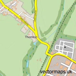
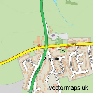
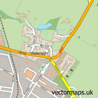
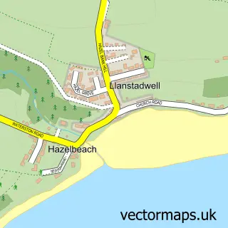
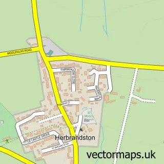
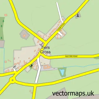
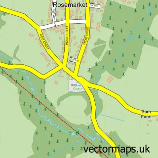
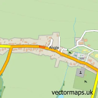
Nearby street map samples around Milford Haven


More street maps in Dyfed
750 metre map area coverage
Boundary, postcode and point of interest information for the 750m x 750m rectangle centred on this sample map.
Boundaries containing map centre
Constituency: Mid and South Pembrokeshire Co Const
District: Sir Benfro - Pembrokeshire
Icb: Hywel Dda
Parish: Milford Haven Community
Police Force: dyfed-powys
Postcode District: SA73
Postcode Sector: SA73 3
Nearby boundaries intersecting sample
Postcode Sector: SA73 2
Postcode coverage
POI category counts
Beauty Salon: 6
Community Services Non Profits: 4
Dentist: 4
Doctor: 4
Hair Salon: 4
Pub: 4
Charity Organization: 3
Convenience Store: 3
Restaurant: 3
Sports Club And League: 3
Sample points of interest
- Evens & Co
- St Katharine and St Peter's Church
- McCarthy’s Madhouse
- Phoenix Yarns
- The Yellow Rose
- Haven Tyre Company
- K C Motors
- Greggs
- Sugar Loaf
- Nationwide Building Society
- NatWest Mobile Branch
- Nationwide
Create a larger editable map of Milford Haven
This sample shows only a 750 metre area. To create a larger map of Milford Haven, use our map builder to choose your own coverage area, add titles and download editable SVG, PDF and PNG files.
Create a custom map of Milford Haven