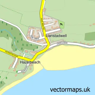
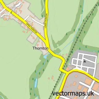
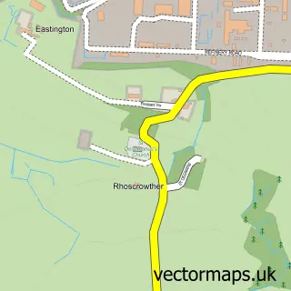
This Waterston street map is a detailed vector street map covering a 750m x 750m area. Select a larger area to create and download your own vector street map of Waterston.
The 750-metre map sample for Waterston covers 143 mapped buildings and approximately 11.8 km of road detail, of which 16 named roads are named. The immediate area includes 2 MOT stations, with 6 within 2 miles. The wider area around Waterston features 2 tourism points of interest, 1 food and drink venue and 1 campsite within 2 miles. To create a larger or custom map of Waterston, the map builder lets you define your own coverage area and download editable SVG, PDF and PNG files.
Create a larger editable map of Waterston
Choose any area you need and generate a high-quality vector map instantly. Perfect for print, planning, design, business and personal use.

This Waterston street map in Dyfed is available as downloadable SVG, PDF and PNG map files, or as a printed map for planning, business, display, education, local information and design work. You can also create a larger custom map area using the map selector.
What this Waterston map sample shows
Waterston lies within Llanstadwell Community parish, part of Neyland: West ward in the Sir Benfro - Pembrokeshire local authority area. The postcode geography for this area includes the SA postcode area, the SA73 postcode district and the SA73 1 postcode sector. Residents fall under the Hywel Dda University Health Board for NHS services.
Local features near Waterston
Within 2 milesAmenities and services in and around Waterston.
Administrative and postcode information for Waterston
The local authority covering Waterston is Sir Benfro - Pembrokeshire, within the county of Dyfed. The settlement lies within Neyland: West ward and Llanstadwell Community civil parish. The SA73 postcode district and SA73 1 postcode sector serve the immediate area. NHS provision in the area is delivered through Hywel Dda University Health Board.
Nearby street map samples around Waterston
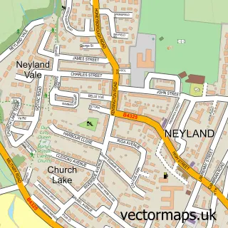

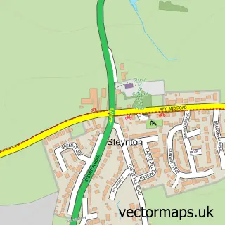
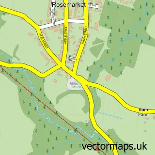
More street maps in Dyfed
750 metre map area coverage
Boundary, postcode and point of interest information for the 750m x 750m rectangle centred on this sample map.
Boundaries containing map centre
Constituency: Mid and South Pembrokeshire Co Const
District: Sir Benfro - Pembrokeshire
Icb: Hywel Dda
Parish: Llanstadwell Community
Police Force: dyfed-powys
Postcode District: SA73
Postcode Sector: SA73 1
Nearby boundaries intersecting sample
Parish: Milford Haven Community
Postcode coverage
POI category counts
Excavation Service: 2
Auto Body Shop: 1
Building Supply Store: 1
Bus Service: 1
Business Consulting: 1
Cafe: 1
Campground: 1
Commercial Industrial: 1
Condominium: 1
Electrician: 1
Sample points of interest
- Freemans Vehicle Repair Centre
- Ling Electrical
- A2B Minibuses
- Neural Pathways
- Monster Road Cafe
- Grass Roots Caravan Glamping & Alpaca Trekking
- Dragon LNG
- Coast to Coast Caravans
- Rite Konnection Electrical Contractors
- Ailsbury Ltd.
- Waterston Car Breakers
- Inchcape Shipping Services
Create a larger editable map of Waterston
This sample shows only a 750 metre area. To create a larger map of Waterston, use our map builder to choose your own coverage area, add titles and download editable SVG, PDF and PNG files.
Create a custom map of Waterston