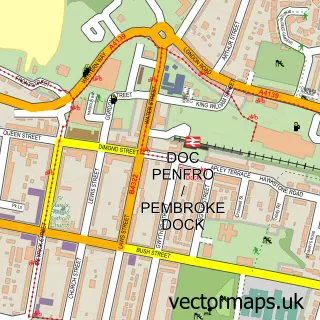
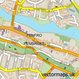
This Pennar street map is a detailed vector street map covering a 750m x 750m area. Select a larger area to create and download your own vector street map of Pennar.
The 750-metre map sample for Pennar covers 339 mapped buildings and approximately 12.0 km of road detail, of which 32 named roads are named. The immediate area includes 1 school, 1 GP surgery within 2 miles, 3 pubs and 1 MOT station, with 6 within 2 miles. The wider area around Pennar features 3 food and drink venues and 2 hotels. To create a larger or custom map of Pennar, the map builder lets you define your own coverage area and download editable SVG, PDF and PNG files.
Create a larger editable map of Pennar
Choose any area you need and generate a high-quality vector map instantly. Perfect for print, planning, design, business and personal use.

This Pennar street map in Dyfed is available as downloadable SVG, PDF and PNG map files, or as a printed map for planning, business, display, education, local information and design work. You can also create a larger custom map area using the map selector.
What this Pennar map sample shows
Pennar lies within Pembroke Dock Community parish, part of Pembroke Dock: Market ward in the Sir Benfro - Pembrokeshire local authority area. The postcode geography for this area includes the SA postcode area, the SA72 postcode district and the SA72 6 postcode sector. Residents fall under the Hywel Dda University Health Board for NHS services.
Local features near Pennar
Within 2 milesAmenities and services in and around Pennar.
Administrative and postcode information for Pennar
The local authority covering Pennar is Sir Benfro - Pembrokeshire, within the county of Dyfed. The settlement lies within Pembroke Dock: Market ward and Pembroke Dock Community civil parish. The SA72 postcode district and SA72 6 postcode sector serve the immediate area. NHS provision in the area is delivered through Hywel Dda University Health Board.
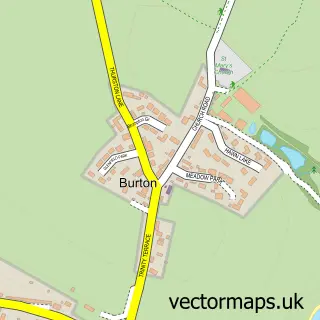
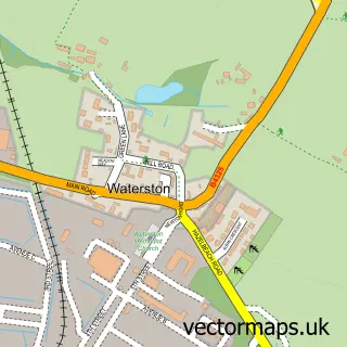
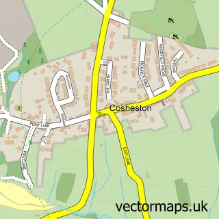
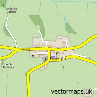
Nearby street map samples around Pennar

More street maps in Dyfed
750 metre map area coverage
Boundary, postcode and point of interest information for the 750m x 750m rectangle centred on this sample map.
Boundaries containing map centre
Constituency: Mid and South Pembrokeshire Co Const
District: Sir Benfro - Pembrokeshire
Icb: Hywel Dda
Parish: Pembroke Dock Community
Police Force: dyfed-powys
Postcode District: SA72
Postcode Sector: SA72 6
Nearby boundaries intersecting sample
No additional intersecting boundaries found.
Postcode coverage
POI category counts
Convenience Store: 4
Pub: 3
Appliance Repair Service: 2
Building Supply Store: 2
Hotel: 2
Bakery: 1
Business Manufacturing And Supply: 1
Car Dealer: 1
Church Cathedral: 1
Community Center: 1
Sample points of interest
- Compton Appliances
- Paul's Appliance Repairs
- Chris's Celebration Cakes ( Christine Griffiths)
- Pro-Pavers Driveways & Patio's Ltd
- Steven Coaker Painting & Decorating Services
- Boxed blues
- W.P. Lewis & Son (Greenfield Garage) Limited
- St Patrick's Church
- Pennar Community Hall
- Penfro Construction Ltd
- Jeevan Minimarket
- Premier
Create a larger editable map of Pennar
This sample shows only a 750 metre area. To create a larger map of Pennar, use our map builder to choose your own coverage area, add titles and download editable SVG, PDF and PNG files.
Create a custom map of Pennar