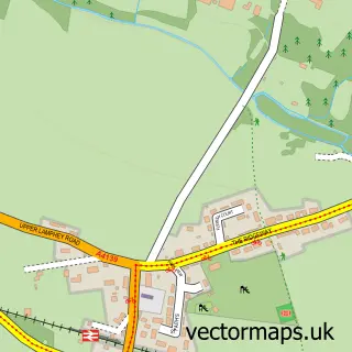
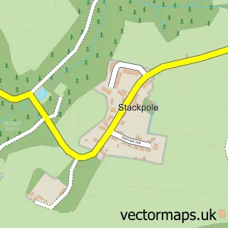
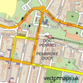
This Pembroke street map is a detailed vector street map covering a 750m x 750m area. Select a larger area to create and download your own vector street map of Pembroke.
The 750-metre map sample for Pembroke covers 362 mapped buildings and approximately 17.9 km of road detail, of which 43 named roads are named. The immediate area includes 1 school, 1 GP surgery, 5 pubs and 8 MOT stations within 2 miles. The wider area around Pembroke features 4 tourism points of interest, 19 food and drink venues and 6 hotels. To create a larger or custom map of Pembroke, the map builder lets you define your own coverage area and download editable SVG, PDF and PNG files.
Create a larger editable map of Pembroke
Choose any area you need and generate a high-quality vector map instantly. Perfect for print, planning, design, business and personal use.

This Pembroke street map in Dyfed is available as downloadable SVG, PDF and PNG map files, or as a printed map for planning, business, display, education, local information and design work. You can also create a larger custom map area using the map selector.
What this Pembroke map sample shows
Pembroke lies within Pembroke Community parish, part of Pembroke: St. Mary South ward in the Sir Benfro - Pembrokeshire local authority area. The postcode geography for this area includes the SA postcode area, the SA71 postcode district and the SA71 4 postcode sector. Residents fall under the Hywel Dda University Health Board for NHS services.
Local features near Pembroke
Within 2 milesAmenities and services in and around Pembroke.
Administrative and postcode information for Pembroke
Pembroke lies within Pembroke Community parish, part of Pembroke: St. Mary South ward in the Sir Benfro - Pembrokeshire local authority area. The postcode geography for this area includes the SA postcode area, the SA71 postcode district and the SA71 4 postcode sector. Residents fall under the Hywel Dda University Health Board for NHS services.
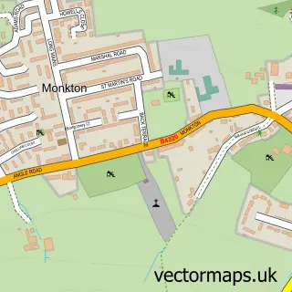
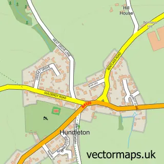
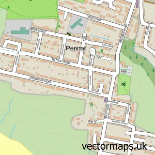
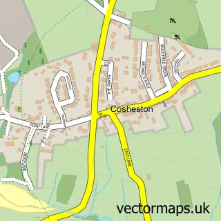
Nearby street map samples around Pembroke

More street maps in Dyfed
750 metre map area coverage
Boundary, postcode and point of interest information for the 750m x 750m rectangle centred on this sample map.
Boundaries containing map centre
Constituency: Mid and South Pembrokeshire Co Const
District: Sir Benfro - Pembrokeshire
Icb: Hywel Dda
Parish: Pembroke Community
Police Force: dyfed-powys
Postcode District: SA71
Postcode Sector: SA71 4
Nearby boundaries intersecting sample
Postcode Sector: SA71 5
Postcode coverage
POI category counts
Beauty Salon: 9
Hair Salon: 8
Real Estate Agent: 8
Cafe: 7
Flowers And Gifts Shop: 7
Hotel: 6
Professional Services: 6
Bank Credit Union: 5
Barber: 5
Pub: 5
Sample points of interest
- Pembroke Self Catering Apartments
- Harris Bassett Accountants
- Camrose Media
- Just Great Design & Print
- St Mary's Church
- Pembroke Antiques Centre
- The Chapel Emporium Pembroke
- West Gate Gallery and Coffee Shop
- The Ribbon Ladies patchwork and quilt shop
- St Oswalds Community Garden
- Pembrook Wales
- Bee's Knees
Create a larger editable map of Pembroke
This sample shows only a 750 metre area. To create a larger map of Pembroke, use our map builder to choose your own coverage area, add titles and download editable SVG, PDF and PNG files.
Create a custom map of Pembroke