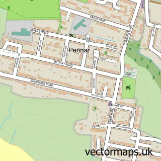
This Cosheston street map is a detailed vector street map covering a 750m x 750m area. Select a larger area to create and download your own vector street map of Cosheston.
The 750-metre map sample for Cosheston covers 215 mapped buildings and approximately 18.0 km of road detail, of which 11 named roads are named. The immediate area includes 1 GP surgery within 2 miles, 1 pub and 5 MOT stations within 2 miles. The wider area around Cosheston features 1 tourism point of interest, 1 food and drink venue and 1 hotel. To create a larger or custom map of Cosheston, the map builder lets you define your own coverage area and download editable SVG, PDF and PNG files.
Create a larger editable map of Cosheston
Choose any area you need and generate a high-quality vector map instantly. Perfect for print, planning, design, business and personal use.

This Cosheston street map in Dyfed is available as downloadable SVG, PDF and PNG map files, or as a printed map for planning, business, display, education, local information and design work. You can also create a larger custom map area using the map selector.
What this Cosheston map sample shows
Cosheston lies within Cosheston Community parish, part of Lamphey ward in the Sir Benfro - Pembrokeshire local authority area. The postcode geography for this area includes the SA postcode area, the SA72 postcode district and the SA72 4 postcode sector. Residents fall under the Hywel Dda University Health Board for NHS services.
Local features near Cosheston
Within 2 milesAmenities and services in and around Cosheston.
Administrative and postcode information for Cosheston
The local authority covering Cosheston is Sir Benfro - Pembrokeshire, within the county of Dyfed. The settlement lies within Lamphey ward and Cosheston Community civil parish. The SA72 postcode district and SA72 4 postcode sector serve the immediate area. NHS provision in the area is delivered through Hywel Dda University Health Board.
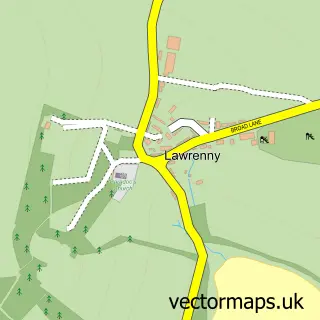
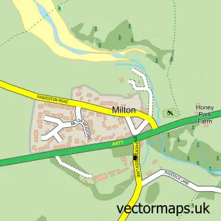
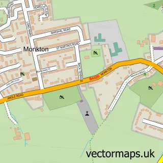
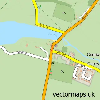
Nearby street map samples around Cosheston

More street maps in Dyfed
750 metre map area coverage
Boundary, postcode and point of interest information for the 750m x 750m rectangle centred on this sample map.
Boundaries containing map centre
Constituency: Mid and South Pembrokeshire Co Const
District: Sir Benfro - Pembrokeshire
Icb: Hywel Dda
Parish: Cosheston Community
Police Force: dyfed-powys
Postcode District: SA72
Postcode Sector: SA72 4
Nearby boundaries intersecting sample
No additional intersecting boundaries found.
Postcode coverage
POI category counts
Accountant: 1
Advertising Agency: 1
Appliance Store: 1
Bed And Breakfast: 1
Building Supply Store: 1
Church Cathedral: 1
Health Food Store: 1
Hotel: 1
Internet Service Provider: 1
Landmark And Historical Building: 1
Sample points of interest
- Greystones Accounting Services Ltd.
- Victoria Brace Marketing
- City Electrical Factors
- T Y Melin
- Williams Home Construction
- Cosheston Mission Church
- Herbalife
- Ty Melin B&B
- Pioneer Leisure UK
- Cosheston Apartments
- Balanced Nutrition
- The Brewery Inn Cosheston
Create a larger editable map of Cosheston
This sample shows only a 750 metre area. To create a larger map of Cosheston, use our map builder to choose your own coverage area, add titles and download editable SVG, PDF and PNG files.
Create a custom map of Cosheston