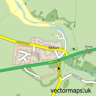
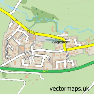
This Lamphey street map is a detailed vector street map covering a 750m x 750m area. Select a larger area to create and download your own vector street map of Lamphey.
The 750-metre map sample for Lamphey covers 113 mapped buildings and approximately 7.9 km of road detail, of which 6 named roads are named. The immediate area includes 1 railway station and 4 MOT stations within 2 miles. The wider area around Lamphey features 4 tourism points of interest, 1 food and drink venue and 3 hotels. To create a larger or custom map of Lamphey, the map builder lets you define your own coverage area and download editable SVG, PDF and PNG files.
Create a larger editable map of Lamphey
Choose any area you need and generate a high-quality vector map instantly. Perfect for print, planning, design, business and personal use.

This Lamphey street map in Dyfed is available as downloadable SVG, PDF and PNG map files, or as a printed map for planning, business, display, education, local information and design work. You can also create a larger custom map area using the map selector.
What this Lamphey map sample shows
Lamphey lies within Lamphey Community parish, part of Lamphey ward in the Sir Benfro - Pembrokeshire local authority area. The postcode geography for this area includes the SA postcode area, the SA71 postcode district and the SA71 5 postcode sector. Residents fall under the Hywel Dda University Health Board for NHS services.
Local features near Lamphey
Within 2 milesAmenities and services in and around Lamphey.
Administrative and postcode information for Lamphey
Lamphey lies within Lamphey Community parish, part of Lamphey ward in the Sir Benfro - Pembrokeshire local authority area. The postcode geography for this area includes the SA postcode area, the SA71 postcode district and the SA71 5 postcode sector. Residents fall under the Hywel Dda University Health Board for NHS services.
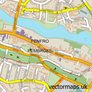
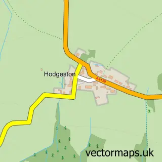
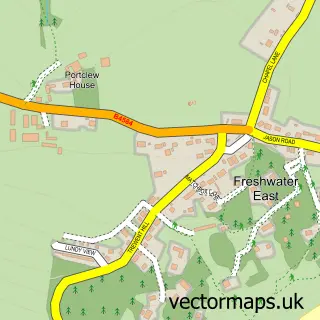
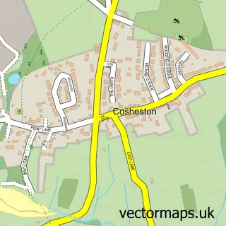
Nearby street map samples around Lamphey

More street maps in Dyfed
750 metre map area coverage
Boundary, postcode and point of interest information for the 750m x 750m rectangle centred on this sample map.
Boundaries containing map centre
Constituency: Mid and South Pembrokeshire Co Const
District: Sir Benfro - Pembrokeshire
Icb: Hywel Dda
Parish: Lamphey Community
Police Force: dyfed-powys
Postcode District: SA71
Postcode Sector: SA71 5
Nearby boundaries intersecting sample
No additional intersecting boundaries found.
Postcode coverage
POI category counts
Castle: 3
Hotel: 3
Train Station: 3
Community Services Non Profits: 2
Beauty Product Supplier: 1
Cafe: 1
Campground: 1
Ev Charging Station: 1
Farm: 1
Hiking Trail: 1
Sample points of interest
- Taylor And Co. Hair Studio
- The Rowan Tree Cafe at Dewslake
- Cwtch Camping
- Lamphey Bishops Palace/ Llys yr Esgob Llandyfái
- Llys yr Esgob Llandyfái / Lamphey Bishops Palace
- Llys yr Esgob Llandyfái / Lamphey Bishops Palace
- Pembroke Bridge Club
- Pembroke Farmers Club
- Lamphey Court Hotel
- Pembrokeshire Coast Honey
- Lamphey Beach Trail
- Best Western Lamphey Court Hotel
Create a larger editable map of Lamphey
This sample shows only a 750 metre area. To create a larger map of Lamphey, use our map builder to choose your own coverage area, add titles and download editable SVG, PDF and PNG files.
Create a custom map of Lamphey