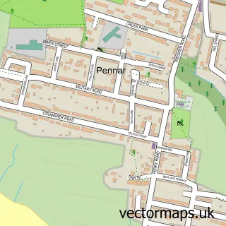
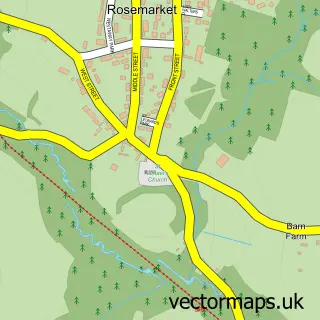
This Pembroke Dock street map is a detailed vector street map covering a 750m x 750m area. Select a larger area to create and download your own vector street map of Pembroke Dock.
The 750-metre map sample for Pembroke Dock covers 308 mapped buildings and approximately 17.9 km of road detail, of which 34 named roads are named. The immediate area includes 1 school, 1 railway station, 1 GP surgery within 2 miles and 5 pubs among other local services. The wider area around Pembroke Dock features 2 tourism points of interest, 19 food and drink venues and 1 hotel. To create a larger or custom map of Pembroke Dock, the map builder lets you define your own coverage area and download editable SVG, PDF and PNG files.
Create a larger editable map of Pembroke Dock
Choose any area you need and generate a high-quality vector map instantly. Perfect for print, planning, design, business and personal use.

This Pembroke Dock street map in Dyfed is available as downloadable SVG, PDF and PNG map files, or as a printed map for planning, business, display, education, local information and design work. You can also create a larger custom map area using the map selector.
What this Pembroke Dock map sample shows
Pembroke Dock lies within Pembroke Dock Community parish, part of Pembroke Dock: Market ward in the Sir Benfro - Pembrokeshire local authority area. The postcode geography for this area includes the SA postcode area, the SA72 postcode district and the SA72 6 postcode sector. Residents fall under the Hywel Dda University Health Board for NHS services.
Local features near Pembroke Dock
Within 2 milesAmenities and services in and around Pembroke Dock.
Administrative and postcode information for Pembroke Dock
The local authority covering Pembroke Dock is Sir Benfro - Pembrokeshire, within the county of Dyfed. The settlement lies within Pembroke Dock: Market ward and Pembroke Dock Community civil parish. The SA72 postcode district and SA72 6 postcode sector serve the immediate area. NHS provision in the area is delivered through Hywel Dda University Health Board.
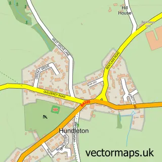
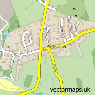
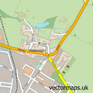
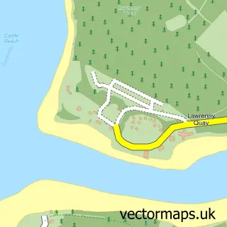
Nearby street map samples around Pembroke Dock

More street maps in Dyfed
750 metre map area coverage
Boundary, postcode and point of interest information for the 750m x 750m rectangle centred on this sample map.
Boundaries containing map centre
Constituency: Mid and South Pembrokeshire Co Const
District: Sir Benfro - Pembrokeshire
Icb: Hywel Dda
Parish: Pembroke Dock Community
Police Force: dyfed-powys
Postcode District: SA72
Postcode Sector: SA72 6
Nearby boundaries intersecting sample
No additional intersecting boundaries found.
Postcode coverage
POI category counts
Beauty Salon: 9
Cafe: 9
Flowers And Gifts Shop: 7
Automotive Repair: 6
Clothing Store: 5
Professional Services: 5
Pub: 5
Bakery: 4
Barber: 4
Charity Organization: 4
Sample points of interest
- The Corner Rooms
- MDJ accountancy
- Dockers ABC / Fitness
- Artemys Studios
- Parish of Pembroke Dock
- Treen Box Antiques
- Carl Bentley Architectural Services
- Pembroke Design Ltd
- Yen Asian oriental food เย็นเอเชี่ยน โอเลียนทรัลฟู้ดค่ะ
- NatWest
- Gavin B Lloyd
- Andrew Bell Upholstery
Create a larger editable map of Pembroke Dock
This sample shows only a 750 metre area. To create a larger map of Pembroke Dock, use our map builder to choose your own coverage area, add titles and download editable SVG, PDF and PNG files.
Create a custom map of Pembroke Dock