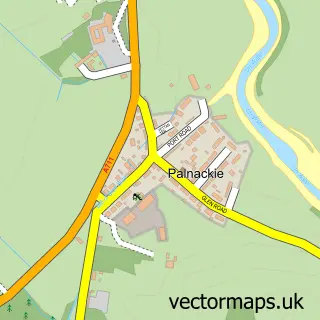
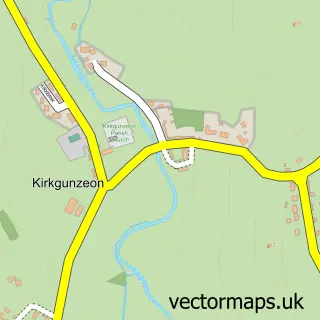
This Dalbeattie street map is a detailed vector street map covering a 750m x 750m area. Select a larger area to create and download your own vector street map of Dalbeattie.
The 750-metre map sample for Dalbeattie covers 500 mapped buildings and approximately 15.4 km of road detail, of which 32 named roads are named. The immediate area includes 1 GP surgery within 2 miles, 3 pubs and 2 MOT stations, with 5 within 2 miles. The wider area around Dalbeattie features 2 tourism points of interest, 5 food and drink venues and 6 hotels. To create a larger or custom map of Dalbeattie, the map builder lets you define your own coverage area and download editable SVG, PDF and PNG files.
Create a larger editable map of Dalbeattie
Choose any area you need and generate a high-quality vector map instantly. Perfect for print, planning, design, business and personal use.

This Dalbeattie street map in The Stewartry of Kirkcudbright is available as downloadable SVG, PDF and PNG map files, or as a printed map for planning, business, display, education, local information and design work. You can also create a larger custom map area using the map selector.
What this Dalbeattie map sample shows
Dalbeattie lies within Dumfries And Galloway parish, part of Abbey ward in the Dumfries And Galloway local authority area. The postcode geography for this area includes the DG postcode area, the DG5 postcode district and the DG5 4 postcode sector. Residents fall under the Dumfries And Galloway for NHS services.
Local features near Dalbeattie
Within 2 milesAmenities and services in and around Dalbeattie.
Administrative and postcode information for Dalbeattie
Dalbeattie lies within Dumfries And Galloway parish, part of Abbey ward in the Dumfries And Galloway local authority area. The postcode geography for this area includes the DG postcode area, the DG5 postcode district and the DG5 4 postcode sector. Residents fall under the Dumfries And Galloway for NHS services.
Nearby street map samples around Dalbeattie


More street maps in The Stewartry of Kirkcudbright
750 metre map area coverage
Boundary, postcode and point of interest information for the 750m x 750m rectangle centred on this sample map.
Boundaries containing map centre
Constituency: Dumfries and Galloway Co Const
District: Dumfries and Galloway
Icb: Dumfries and Galloway
Postcode District: DG5
Postcode Sector: DG5 4
Ward: Abbey Ward
Nearby boundaries intersecting sample
No additional intersecting boundaries found.
Postcode coverage
POI category counts
Beauty Salon: 7
Convenience Store: 6
Hotel: 6
Community Services Non Profits: 4
Beauty And Spa: 3
Bridal Shop: 3
Flowers And Gifts Shop: 3
Gas Station: 3
Professional Services: 3
Pub: 3
Sample points of interest
- PATV Trade Centre
- Dalbeattie Appliance Centre
- Baineach Architects LLP
- The Nail Factory
- Dalbeattie Wood
- The Cooperative Food (BF) Dalbeattie
- OCD Valeting & Detailing
- Polaris
- MILLO PLACE Garage
- OCD Valeting & Detailing
- Bank of Scotland
- RBS
Create a larger editable map of Dalbeattie
This sample shows only a 750 metre area. To create a larger map of Dalbeattie, use our map builder to choose your own coverage area, add titles and download editable SVG, PDF and PNG files.
Create a custom map of Dalbeattie