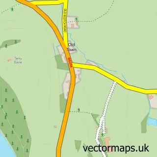
This Dent street map is a detailed vector street map covering a 750m x 750m area. Select a larger area to create and download your own vector street map of Dent.
The 750-metre map sample for Dent covers 105 mapped buildings and approximately 7.1 km of road detail, of which 5 named roads are named. The immediate area includes 1 school and 3 pubs. The wider area around Dent features 7 tourism points of interest, 4 food and drink venues and 3 hotels. To create a larger or custom map of Dent, the map builder lets you define your own coverage area and download editable SVG, PDF and PNG files.
Create a larger editable map of Dent
Choose any area you need and generate a high-quality vector map instantly. Perfect for print, planning, design, business and personal use.

This Dent street map in Cumbria is available as downloadable SVG, PDF and PNG map files, or as a printed map for planning, business, display, education, local information and design work. You can also create a larger custom map area using the map selector.
What this Dent map sample shows
Dent lies within Dent Cp parish, part of Sedbergh & Kirkby Lonsdale ward in the Westmorland And Furness local authority area. The postcode geography for this area includes the LA postcode area, the LA10 postcode district and the LA10 5 postcode sector. Residents fall under the Nhs Lancashire And South Cumbria Integrated Care Board for NHS services.
Local features near Dent
Within 2 milesAmenities and services in and around Dent.
Administrative and postcode information for Dent
The local authority covering Dent is Westmorland And Furness, within the county of Cumbria. The settlement lies within Sedbergh & Kirkby Lonsdale ward and Dent Cp civil parish. The LA10 postcode district and LA10 5 postcode sector serve the immediate area. NHS provision in the area is delivered through University Hospitals Of Morecambe Bay Nhs Foundation Trust.
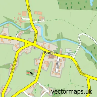
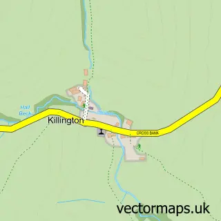
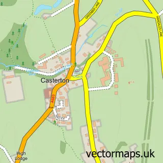
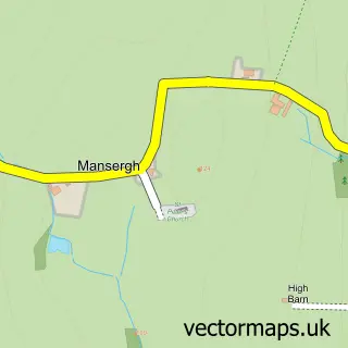
Nearby street map samples around Dent

More street maps in Cumbria
750 metre map area coverage
Boundary, postcode and point of interest information for the 750m x 750m rectangle centred on this sample map.
Boundaries containing map centre
Constituency: Morecambe and Lunesdale Co Const
District: Westmorland and Furness
Icb: NHS Lancashire and South Cumbria ICB
Parish: Dent CP
Police Force: cumbria
Postcode District: LA10
Postcode Sector: LA10 5
Ward: Sedbergh and Kirkby Lonsdale Ward
Nearby boundaries intersecting sample
No additional intersecting boundaries found.
Postcode coverage
POI category counts
Campground: 4
Hotel: 3
Pub: 3
Bed And Breakfast: 2
Dentist: 2
Elementary School: 2
Post Office: 2
Arts And Crafts: 1
Banks: 1
Beauty Salon: 1
Sample points of interest
- The Woolshed
- NatWest Mobile Branch
- Hair at the View
- Dent Stores B&B
- Hingabank Farm
- Boiler Solution
- Drop in Chalets
- Meadowside Cafe Bar
- Conder Farm Camp Site
- High Laning Camping & Caravan Site
- High Laning Caravan & Camping Park
- J W & M E Taylor Camping Park
Create a larger editable map of Dent
This sample shows only a 750 metre area. To create a larger map of Dent, use our map builder to choose your own coverage area, add titles and download editable SVG, PDF and PNG files.
Create a custom map of Dent