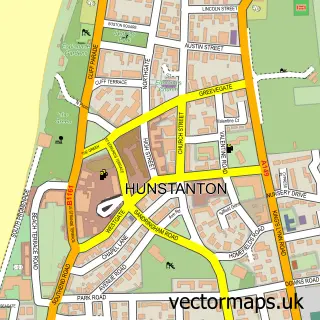
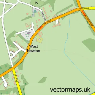
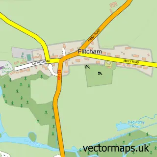
This Dersingham street map is a detailed vector street map covering a 750m x 750m area. Select a larger area to create and download your own vector street map of Dersingham.
The 750-metre map sample for Dersingham covers 702 mapped buildings and approximately 18.3 km of road detail, of which 41 named roads are named. The immediate area includes 1 MOT station, with 2 within 2 miles. The wider area around Dersingham features 1 hotel and 2 campsites within 2 miles. To create a larger or custom map of Dersingham, the map builder lets you define your own coverage area and download editable SVG, PDF and PNG files.
Create a larger editable map of Dersingham
Choose any area you need and generate a high-quality vector map instantly. Perfect for print, planning, design, business and personal use.

This Dersingham street map in Norfolk is available as downloadable SVG, PDF and PNG map files, or as a printed map for planning, business, display, education, local information and design work. You can also create a larger custom map area using the map selector.
What this Dersingham map sample shows
Dersingham lies within Dersingham Cp parish, part of Dersingham ward in the King's Lynn And West Norfolk District (B) local authority area. The postcode geography for this area includes the PE postcode area, the PE31 postcode district and the PE31 6 postcode sector. Residents fall under the Nhs Norfolk And Waveney Integrated Care Board for NHS services.
Local features near Dersingham
Within 2 milesAmenities and services in and around Dersingham.
Administrative and postcode information for Dersingham
Dersingham lies within Dersingham Cp parish, part of Dersingham ward in the King's Lynn And West Norfolk District (B) local authority area. The postcode geography for this area includes the PE postcode area, the PE31 postcode district and the PE31 6 postcode sector. Residents fall under the Nhs Norfolk And Waveney Integrated Care Board for NHS services.
Nearby street map samples around Dersingham

More street maps in Norfolk
750 metre map area coverage
Boundary, postcode and point of interest information for the 750m x 750m rectangle centred on this sample map.
Boundaries containing map centre
Constituency: North West Norfolk Co Const
County: Norfolk County
District: King's Lynn and West Norfolk District (B)
Icb: NHS Norfolk and Waveney ICB
Parish: Dersingham CP
Police Force: norfolk
Postcode District: PE31
Postcode Sector: PE31 6
Ward: Dersingham Ward
Nearby boundaries intersecting sample
No additional intersecting boundaries found.
Postcode coverage
POI category counts
Bed And Breakfast: 4
Beauty Salon: 2
Building Supply Store: 2
Cleaning Services: 2
Construction Services: 2
Convenience Store: 2
Library: 2
Pharmacy: 2
Post Office: 2
Accountant: 1
Sample points of interest
- Burrells Chartered Certified Accountants
- Point'z of Interest Therapie'z
- West Norfolk Osteopaths
- Central England Co-Op - Dersingham, DERSINGHAM
- AJD Auto Repairs Ltd
- Beauty & Tanning Boutique
- Dermacare - Semi Permanent Makeup Clinic
- Ashdene House
- Tall Trees Bed and Breakfast
- The Old House Dersingham North Norfolk
- The White House
- Christyana Fabrics and Blinds
Create a larger editable map of Dersingham
This sample shows only a 750 metre area. To create a larger map of Dersingham, use our map builder to choose your own coverage area, add titles and download editable SVG, PDF and PNG files.
Create a custom map of Dersingham