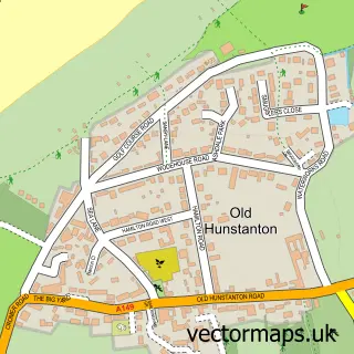
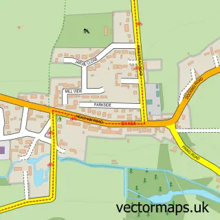
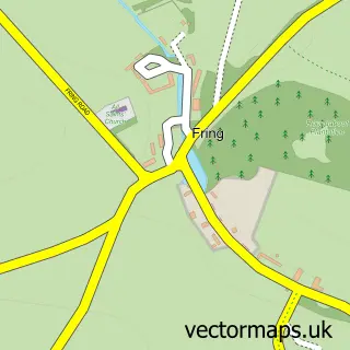
This Hunstanton street map is a detailed vector street map covering a 750m x 750m area. Select a larger area to create and download your own vector street map of Hunstanton.
The 750-metre map sample for Hunstanton covers 296 mapped buildings and approximately 21.2 km of road detail, of which 41 named roads are named. The immediate area includes 1 pub and 3 MOT stations. The wider area around Hunstanton features 5 tourism points of interest, 21 food and drink venues and 12 hotels. To create a larger or custom map of Hunstanton, the map builder lets you define your own coverage area and download editable SVG, PDF and PNG files.
Create a larger editable map of Hunstanton
Choose any area you need and generate a high-quality vector map instantly. Perfect for print, planning, design, business and personal use.

This Hunstanton street map in Norfolk is available as downloadable SVG, PDF and PNG map files, or as a printed map for planning, business, display, education, local information and design work. You can also create a larger custom map area using the map selector.
What this Hunstanton map sample shows
Hunstanton lies within Hunstanton Cp parish, part of Hunstanton ward in the King's Lynn And West Norfolk District (B) local authority area. The postcode geography for this area includes the PE postcode area, the PE36 postcode district and the PE36 5 postcode sector. Residents fall under the Nhs Norfolk And Waveney Integrated Care Board for NHS services.
Local features near Hunstanton
Within 2 milesAmenities and services in and around Hunstanton.
Administrative and postcode information for Hunstanton
The local authority covering Hunstanton is King's Lynn And West Norfolk District (B), within the county of Norfolk. The settlement lies within Hunstanton ward and Hunstanton Cp civil parish. The PE36 postcode district and PE36 5 postcode sector serve the immediate area. NHS provision in the area is delivered through The Queen Elizabeth Hospital, King's Lynn, Nhs Foundation Trust.
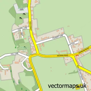
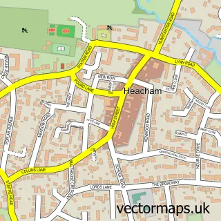
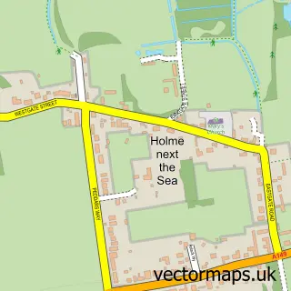
Nearby street map samples around Hunstanton

More street maps in Norfolk
750 metre map area coverage
Boundary, postcode and point of interest information for the 750m x 750m rectangle centred on this sample map.
Boundaries containing map centre
Constituency: North West Norfolk Co Const
County: Norfolk County
District: King's Lynn and West Norfolk District (B)
Icb: NHS Norfolk and Waveney ICB
Parish: Hunstanton CP
Police Force: norfolk
Postcode District: PE36
Postcode Sector: PE36 5
Ward: Hunstanton Ward
Nearby boundaries intersecting sample
Postcode Sector: PE36 6
Postcode coverage
POI category counts
Hotel: 12
Bed And Breakfast: 11
Cafe: 11
Real Estate Agent: 10
Fish And Chips Restaurant: 7
Flowers And Gifts Shop: 6
Restaurant: 6
Beauty Salon: 5
Charity Organization: 5
Architectural Designer: 4
Sample points of interest
- Nautilus Guesthouse
- Kathryn Gigg
- Hayes & Storr
- Stella Gooch Social
- The Fabulous Showboat
- Thomas's Showboat Family Leisure Centre
- RSPCA
- Hughes
- Lighthouse Contract Ltd.
- CHS Pier Family Entertainment
- Hunstanton Pier
- Pier Hunstanton
Create a larger editable map of Hunstanton
This sample shows only a 750 metre area. To create a larger map of Hunstanton, use our map builder to choose your own coverage area, add titles and download editable SVG, PDF and PNG files.
Create a custom map of Hunstanton