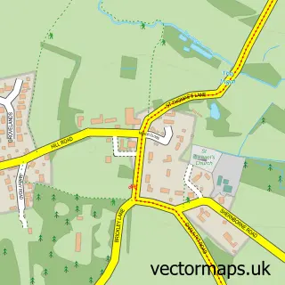
This Heacham street map is a detailed vector street map covering a 750m x 750m area. Select a larger area to create and download your own vector street map of Heacham.
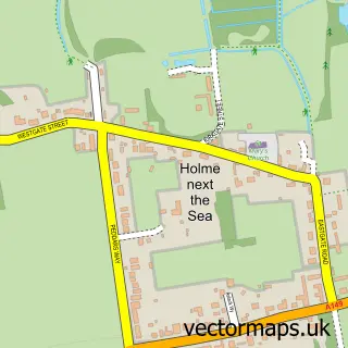
The 750-metre map sample for Heacham covers 645 mapped buildings and approximately 16.7 km of road detail, of which 37 named roads are named. The immediate area includes 1 school, 1 GP surgery, 4 pubs and 1 MOT station, with 4 within 2 miles. The wider area around Heacham features 5 food and drink venues and 2 campsites within 2 miles. To create a larger or custom map of Heacham, the map builder lets you define your own coverage area and download editable SVG, PDF and PNG files.
Create a larger editable map of Heacham
Choose any area you need and generate a high-quality vector map instantly. Perfect for print, planning, design, business and personal use.

This Heacham street map in Norfolk is available as downloadable SVG, PDF and PNG map files, or as a printed map for planning, business, display, education, local information and design work. You can also create a larger custom map area using the map selector.
What this Heacham map sample shows
Heacham lies within Heacham Cp parish, part of Heacham ward in the King's Lynn And West Norfolk District (B) local authority area. The postcode geography for this area includes the PE postcode area, the PE31 postcode district and the PE31 7 postcode sector. Residents fall under the Nhs Norfolk And Waveney Integrated Care Board for NHS services.
Local features near Heacham
Within 2 milesAmenities and services in and around Heacham.
Administrative and postcode information for Heacham
Heacham lies within Heacham Cp parish, part of Heacham ward in the King's Lynn And West Norfolk District (B) local authority area. The postcode geography for this area includes the PE postcode area, the PE31 postcode district and the PE31 7 postcode sector. Residents fall under the Nhs Norfolk And Waveney Integrated Care Board for NHS services.
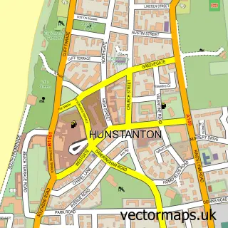
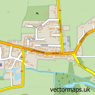
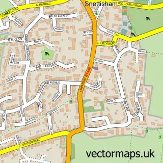
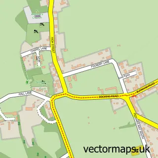
Nearby street map samples around Heacham

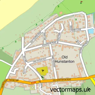
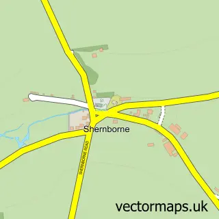
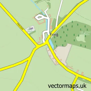
More street maps in Norfolk
750 metre map area coverage
Boundary, postcode and point of interest information for the 750m x 750m rectangle centred on this sample map.
Boundaries containing map centre
Constituency: North West Norfolk Co Const
County: Norfolk County
District: King's Lynn and West Norfolk District (B)
Icb: NHS Norfolk and Waveney ICB
Parish: Heacham CP
Police Force: norfolk
Postcode District: PE31
Postcode Sector: PE31 7
Ward: Heacham Ward
Nearby boundaries intersecting sample
No additional intersecting boundaries found.
Postcode coverage
POI category counts
Pub: 4
Building Supply Store: 3
Convenience Store: 3
Cottage: 3
Holiday Rental Home: 3
Assisted Living Facility: 2
Automotive Repair: 2
Beauty Salon: 2
Books Mags Music And Video: 2
Brewery: 2
Sample points of interest
- Exclusive Fitness
- Trotters Interiors
- Summit Architectural Ltd
- Studio 55
- Housing 21 Court Managers
- Rebecca Court Residential Care
- MPS
- Station Road Garage
- Heacham Club Charity
- Rodney's Barbers
- Just Laura
- Bliss Hair & Beauty Ltd
Create a larger editable map of Heacham
This sample shows only a 750 metre area. To create a larger map of Heacham, use our map builder to choose your own coverage area, add titles and download editable SVG, PDF and PNG files.
Create a custom map of Heacham