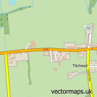
This Holme next the Sea street map is a detailed vector street map covering a 750m x 750m area. Select a larger area to create and download your own vector street map of Holme next the Sea.
The 750-metre map sample for Holme next the Sea covers 176 mapped buildings and approximately 8.0 km of road detail, of which 7 named roads are named. The immediate area includes 1 pub. The wider area around Holme next the Sea features 2 tourism points of interest, 1 food and drink venue and 1 campsite within 2 miles. To create a larger or custom map of Holme next the Sea, the map builder lets you define your own coverage area and download editable SVG, PDF and PNG files.
Create a larger editable map of Holme next the Sea
Choose any area you need and generate a high-quality vector map instantly. Perfect for print, planning, design, business and personal use.

This Holme next the Sea street map in Norfolk is available as downloadable SVG, PDF and PNG map files, or as a printed map for planning, business, display, education, local information and design work. You can also create a larger custom map area using the map selector.
What this Holme next the Sea map sample shows
Holme next the Sea lies within Holme Next The Sea Cp parish, part of Brancaster ward in the King's Lynn And West Norfolk District (B) local authority area. The postcode geography for this area includes the PE postcode area, the PE36 postcode district and the PE36 6 postcode sector. Residents fall under the Nhs Norfolk And Waveney Integrated Care Board for NHS services.
Local features near Holme next the Sea
Within 2 milesAmenities and services in and around Holme next the Sea.
Administrative and postcode information for Holme next the Sea
Holme next the Sea lies within Holme Next The Sea Cp parish, part of Brancaster ward in the King's Lynn And West Norfolk District (B) local authority area. The postcode geography for this area includes the PE postcode area, the PE36 postcode district and the PE36 6 postcode sector. Residents fall under the Nhs Norfolk And Waveney Integrated Care Board for NHS services.
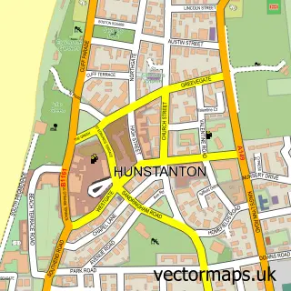
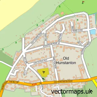
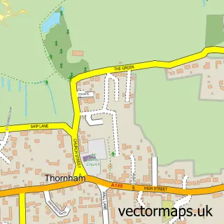
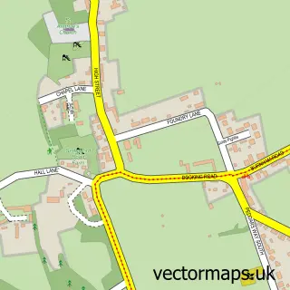
Nearby street map samples around Holme next the Sea

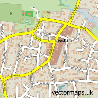
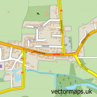
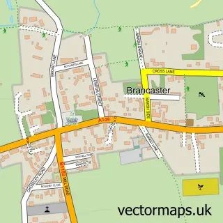

More street maps in Norfolk
750 metre map area coverage
Boundary, postcode and point of interest information for the 750m x 750m rectangle centred on this sample map.
Boundaries containing map centre
Constituency: North West Norfolk Co Const
County: Norfolk County
District: King's Lynn and West Norfolk District (B)
Icb: NHS Norfolk and Waveney ICB
Parish: Holme Next the Sea CP
Police Force: norfolk
Postcode District: PE36
Postcode Sector: PE36 6
Ward: Brancaster Ward
Nearby boundaries intersecting sample
No additional intersecting boundaries found.
Postcode coverage
POI category counts
Park: 2
Anglican Church: 1
Art Gallery: 1
Bed And Breakfast: 1
Charity Organization: 1
Professional Services: 1
Pub: 1
Thrift Store: 1
Town Hall: 1
Sample points of interest
- St Mary the Virgin Holme-next-the-Sea
- Art Norfolk
- Hawks Wind
- Burnham Market Area Community Car Scheme
- Manor Park Caravan Hunstanton
- Sunnymead Holiday Park
- Premcheck Ltd
- White Horse Holme-Next-The-Sea
- Hunstanton Charity Shop
- Holme-next-the-Sea
Create a larger editable map of Holme next the Sea
This sample shows only a 750 metre area. To create a larger map of Holme next the Sea, use our map builder to choose your own coverage area, add titles and download editable SVG, PDF and PNG files.
Create a custom map of Holme next the Sea