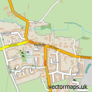
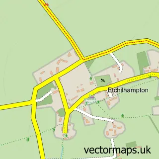
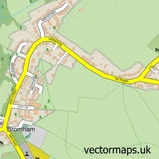
This Devizes street map is a detailed vector street map covering a 750m x 750m area. Select a larger area to create and download your own vector street map of Devizes.
The 750-metre map sample for Devizes covers 278 mapped buildings and approximately 17.2 km of road detail, of which 40 named roads are named. The immediate area includes 3 GP surgeries within 2 miles, 12 pubs and 1 MOT station, with 9 within 2 miles. The wider area around Devizes features 9 tourism points of interest, 33 food and drink venues and 2 hotels. To create a larger or custom map of Devizes, the map builder lets you define your own coverage area and download editable SVG, PDF and PNG files.
Create a larger editable map of Devizes
Choose any area you need and generate a high-quality vector map instantly. Perfect for print, planning, design, business and personal use.

This Devizes street map in Wiltshire is available as downloadable SVG, PDF and PNG map files, or as a printed map for planning, business, display, education, local information and design work. You can also create a larger custom map area using the map selector.
What this Devizes map sample shows
Devizes lies within Devizes Cp parish, part of Devizes North ward in the Wiltshire local authority area. The postcode geography for this area includes the SN postcode area, the SN10 postcode district and the SN10 2 postcode sector. Residents fall under the Nhs Bath And North East Somerset, Swindon And Wiltshire Integrated Care Board for NHS services.
Local features near Devizes
Within 2 milesAmenities and services in and around Devizes.
Administrative and postcode information for Devizes
The local authority covering Devizes is Wiltshire, within the county of Wiltshire. The settlement lies within Devizes North ward and Devizes Cp civil parish. The SN10 postcode district and SN10 2 postcode sector serve the immediate area. NHS provision in the area is delivered through Great Western Hospitals Nhs Foundation Trust.
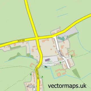
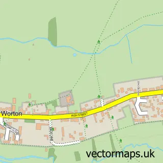
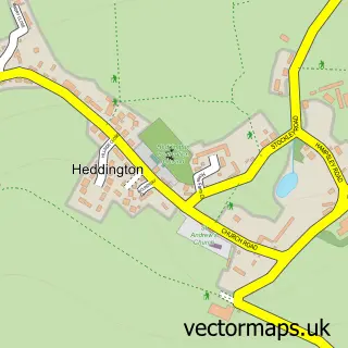
Nearby street map samples around Devizes

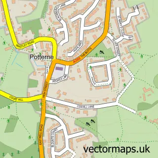
More street maps in Wiltshire
750 metre map area coverage
Boundary, postcode and point of interest information for the 750m x 750m rectangle centred on this sample map.
Boundaries containing map centre
Constituency: Melksham and Devizes Co Const
District: Wiltshire
Icb: NHS Bath and North East Somerset Swindon and Wiltshire ICB
Parish: Devizes CP
Police Force: wiltshire
Postcode District: SN10
Postcode Sector: SN10 1
Nearby boundaries intersecting sample
Postcode Sector: SN10 2, SN10 5
Postcode coverage
POI category counts
Beauty Salon: 16
Hair Salon: 16
Professional Services: 16
Charity Organization: 14
Pub: 12
Cafe: 11
Coffee Shop: 9
Flowers And Gifts Shop: 9
Barber: 8
Real Estate Agent: 8
Sample points of interest
- DMC Office Supplies
- Charlton Baker
- RiverView Portfolio - Devizes Office
- Riverview Portfolio Ltd.
- Lotus Acupuncture Wiltshire
- Steve Dicksons Creative
- Farm Solutions Ltd.
- United Oilseeds Marketing
- Wessexwell Being
- Devizes Ambulance Station
- Devizes: St John
- Devizes: St Mary
Create a larger editable map of Devizes
This sample shows only a 750 metre area. To create a larger map of Devizes, use our map builder to choose your own coverage area, add titles and download editable SVG, PDF and PNG files.
Create a custom map of Devizes