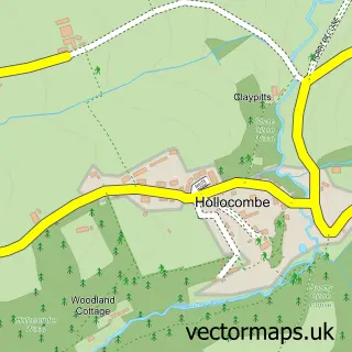
This Dolton street map is a detailed vector street map covering a 750m x 750m area. Select a larger area to create and download your own vector street map of Dolton.
The 750-metre map sample for Dolton covers 258 mapped buildings and approximately 13.4 km of road detail, of which 19 named roads are named. The immediate area includes 1 school, 3 pubs and 1 MOT station within 2 miles. The wider area around Dolton features 3 food and drink venues, 1 hotel and 1 campsite within 2 miles. To create a larger or custom map of Dolton, the map builder lets you define your own coverage area and download editable SVG, PDF and PNG files.
Create a larger editable map of Dolton
Choose any area you need and generate a high-quality vector map instantly. Perfect for print, planning, design, business and personal use.

This Dolton street map in Devon is available as downloadable SVG, PDF and PNG map files, or as a printed map for planning, business, display, education, local information and design work. You can also create a larger custom map area using the map selector.
What this Dolton map sample shows
Dolton lies within Dolton Cp parish, part of Two Rivers & Three Moors ward in the Torridge District local authority area. The postcode geography for this area includes the EX postcode area, the EX19 postcode district and the EX19 8 postcode sector. Residents fall under the Nhs Devon Integrated Care Board for NHS services.
Local features near Dolton
Within 2 milesAmenities and services in and around Dolton.
Administrative and postcode information for Dolton
The local authority covering Dolton is Torridge District, within the county of Devon. The settlement lies within Two Rivers & Three Moors ward and Dolton Cp civil parish. The EX19 postcode district and EX19 8 postcode sector serve the immediate area. NHS provision in the area is delivered through Northern Devon Nhs Trust.
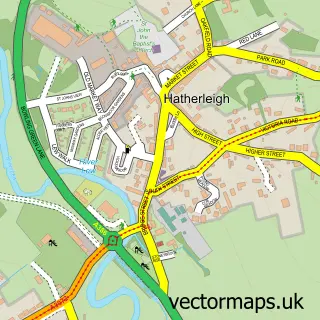
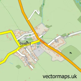
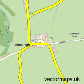
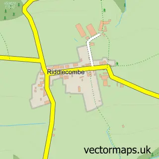
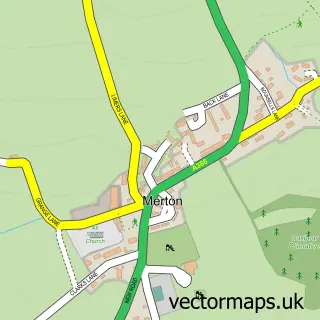
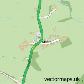
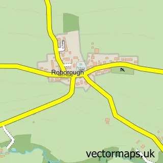
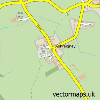
Nearby street map samples around Dolton

More street maps in Devon
750 metre map area coverage
Boundary, postcode and point of interest information for the 750m x 750m rectangle centred on this sample map.
Boundaries containing map centre
Constituency: Torridge and Tavistock Co Const
County: Devon County
District: Torridge District
Icb: NHS Devon ICB
Parish: Dolton CP
Police Force: devon and cornwall
Postcode District: EX19
Postcode Sector: EX19 8
Ward: Two Rivers & Three Moors Ward
Nearby boundaries intersecting sample
No additional intersecting boundaries found.
Postcode coverage
POI category counts
Convenience Store: 4
Pub: 3
Elementary School: 2
Professional Services: 2
Anglican Church: 1
Automotive: 1
Bakery: 1
Bar: 1
Car Rental Agency: 1
Church Cathedral: 1
Sample points of interest
- St Edmund, Dolton
- Emission Possible Devon Sports Car Hire
- Le Ram’s café
- Union Inn
- Emission Possible Sports Car Hire
- St Edmunds Church
- Dolton Village Hall
- Church Street Stores
- Dolton Post Office
- Post Office-Dolton
- SPAR Church Street
- Winkleigh Discount Centre
Create a larger editable map of Dolton
This sample shows only a 750 metre area. To create a larger map of Dolton, use our map builder to choose your own coverage area, add titles and download editable SVG, PDF and PNG files.
Create a custom map of Dolton