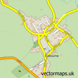
This Hatherleigh street map is a detailed vector street map covering a 750m x 750m area. Select a larger area to create and download your own vector street map of Hatherleigh.
The 750-metre map sample for Hatherleigh covers 287 mapped buildings and approximately 16.5 km of road detail, of which 18 named roads are named. The immediate area includes 1 school, 2 pubs and 2 MOT stations. The wider area around Hatherleigh features 4 food and drink venues, 2 hotels and 1 campsite within 2 miles. To create a larger or custom map of Hatherleigh, the map builder lets you define your own coverage area and download editable SVG, PDF and PNG files.
Create a larger editable map of Hatherleigh
Choose any area you need and generate a high-quality vector map instantly. Perfect for print, planning, design, business and personal use.

This Hatherleigh street map in Devon is available as downloadable SVG, PDF and PNG map files, or as a printed map for planning, business, display, education, local information and design work. You can also create a larger custom map area using the map selector.
What this Hatherleigh map sample shows
Hatherleigh lies within Hatherleigh Cp parish, part of Hatherleigh ward in the West Devon District (B) local authority area. The postcode geography for this area includes the EX postcode area, the EX20 postcode district and the EX20 3 postcode sector. Residents fall under the Nhs Devon Integrated Care Board for NHS services.
Local features near Hatherleigh
Within 2 milesAmenities and services in and around Hatherleigh.
Administrative and postcode information for Hatherleigh
Hatherleigh lies within Hatherleigh Cp parish, part of Hatherleigh ward in the West Devon District (B) local authority area. The postcode geography for this area includes the EX postcode area, the EX20 postcode district and the EX20 3 postcode sector. Residents fall under the Nhs Devon Integrated Care Board for NHS services.
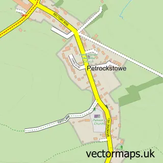
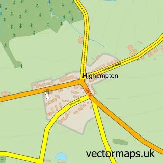
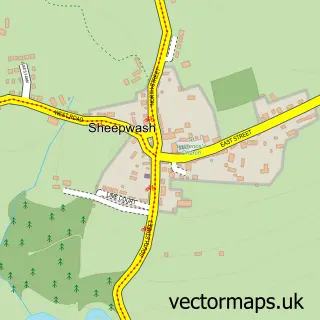
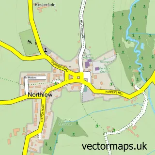
Nearby street map samples around Hatherleigh

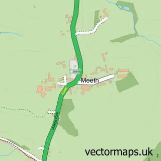
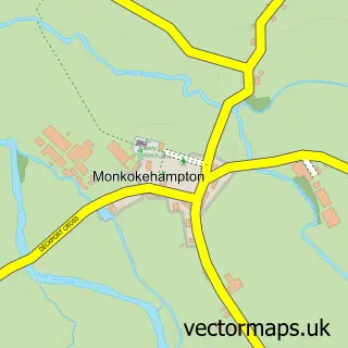
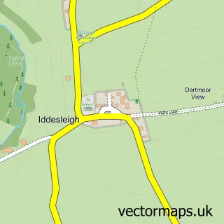
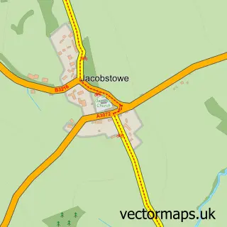
More street maps in Devon
750 metre map area coverage
Boundary, postcode and point of interest information for the 750m x 750m rectangle centred on this sample map.
Boundaries containing map centre
Constituency: Central Devon Co Const
County: Devon County
District: West Devon District (B)
Icb: NHS Devon ICB
Parish: Hatherleigh CP
Police Force: devon and cornwall
Postcode District: EX20
Postcode Sector: EX20 3
Ward: Hatherleigh Ward
Nearby boundaries intersecting sample
No additional intersecting boundaries found.
Postcode coverage
POI category counts
Accountant: 2
Atms: 2
Auction House: 2
Automotive Repair: 2
Bed And Breakfast: 2
Convenience Store: 2
Elementary School: 2
Gardener: 2
Gas Station: 2
Hair Salon: 2
Sample points of interest
- Hatherleigh Square
- GD Accountancy
- Skymark Financial Ltd.
- Chameleon Studio
- St John the Baptist
- Millie's House
- Natwest
- The Cooperative Food (BF) Hatherleigh, Hatherleigh
- Old Market Auctions, Hatherleigh.
- P G & R J Pyle
- Hatherleigh Motor Service
- NJB Automotive Services
Create a larger editable map of Hatherleigh
This sample shows only a 750 metre area. To create a larger map of Hatherleigh, use our map builder to choose your own coverage area, add titles and download editable SVG, PDF and PNG files.
Create a custom map of Hatherleigh