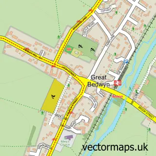
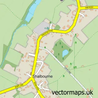
This East Grafton street map is a detailed vector street map covering a 750m x 750m area. Select a larger area to create and download your own vector street map of East Grafton.
The 750-metre map sample for East Grafton covers 110 mapped buildings and approximately 8.9 km of road detail, of which 7 named roads are named. The immediate area includes 1 GP surgery within 2 miles. The wider area around East Grafton features 1 campsite within 2 miles. To create a larger or custom map of East Grafton, the map builder lets you define your own coverage area and download editable SVG, PDF and PNG files.
Create a larger editable map of East Grafton
Choose any area you need and generate a high-quality vector map instantly. Perfect for print, planning, design, business and personal use.

This East Grafton street map in Wiltshire is available as downloadable SVG, PDF and PNG map files, or as a printed map for planning, business, display, education, local information and design work. You can also create a larger custom map area using the map selector.
What this East Grafton map sample shows
East Grafton lies within Grafton Cp parish, part of Burbage And The Bedwyns ward in the Wiltshire local authority area. The postcode geography for this area includes the SN postcode area, the SN8 postcode district and the SN8 3 postcode sector. Residents fall under the Nhs Bath And North East Somerset, Swindon And Wiltshire Integrated Care Board for NHS services.
Local features near East Grafton
Within 2 milesAmenities and services in and around East Grafton.
Administrative and postcode information for East Grafton
East Grafton lies within Grafton Cp parish, part of Burbage And The Bedwyns ward in the Wiltshire local authority area. The postcode geography for this area includes the SN postcode area, the SN8 postcode district and the SN8 3 postcode sector. Residents fall under the Nhs Bath And North East Somerset, Swindon And Wiltshire Integrated Care Board for NHS services.
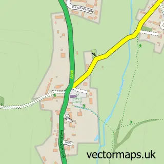
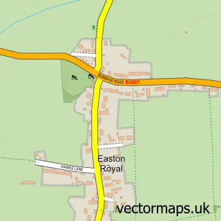
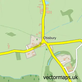
Nearby street map samples around East Grafton
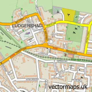

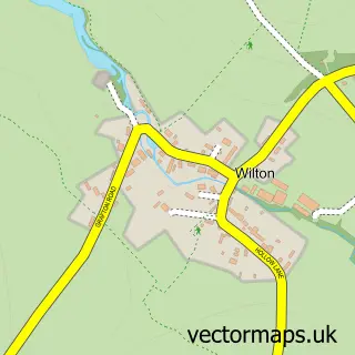
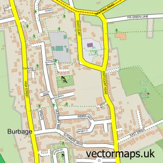
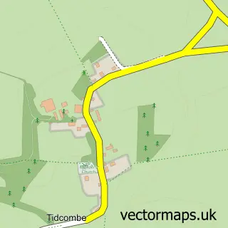
More street maps in Wiltshire
750 metre map area coverage
Boundary, postcode and point of interest information for the 750m x 750m rectangle centred on this sample map.
Boundaries containing map centre
Constituency: East Wiltshire Co Const
District: Wiltshire
Icb: NHS Bath and North East Somerset Swindon and Wiltshire ICB
Parish: Grafton CP
Police Force: wiltshire
Postcode District: SN8
Postcode Sector: SN8 3
Nearby boundaries intersecting sample
No additional intersecting boundaries found.
Postcode coverage
POI category counts
Landscape Architect: 2
Anglican Church: 1
Business Manufacturing And Supply: 1
Contractor: 1
Gardener: 1
Holiday Rental Home: 1
Home Service: 1
Kids Recreation And Party: 1
Music Venue: 1
Sample points of interest
- East Grafton: St Nicholas
- Crookwood
- MRH Builders
- ACL a
- The Stables at Manor Farm
- Sunflowers Nursery at Grafton
- Electra Discotheques
- A C L A Ltd.
- A C L A Ltd.
- Acla
Create a larger editable map of East Grafton
This sample shows only a 750 metre area. To create a larger map of East Grafton, use our map builder to choose your own coverage area, add titles and download editable SVG, PDF and PNG files.
Create a custom map of East Grafton