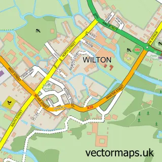
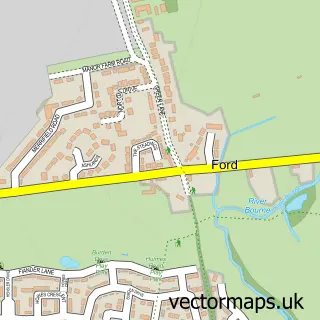
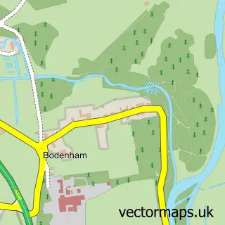
This Salisbury street map is a detailed vector street map covering a 750m x 750m area. Select a larger area to create and download your own vector street map of Salisbury.
The 750-metre map sample for Salisbury covers 204 mapped buildings and approximately 19.1 km of road detail, of which 58 named roads are named. The immediate area includes 2 schools, 3 GP surgeries, with 4 within 2 miles, 35 pubs and 25 MOT stations within 2 miles. The wider area around Salisbury features 14 tourism points of interest, 81 food and drink venues and 12 hotels. To create a larger or custom map of Salisbury, the map builder lets you define your own coverage area and download editable SVG, PDF and PNG files.
Create a larger editable map of Salisbury
Choose any area you need and generate a high-quality vector map instantly. Perfect for print, planning, design, business and personal use.

This Salisbury street map in Wiltshire is available as downloadable SVG, PDF and PNG map files, or as a printed map for planning, business, display, education, local information and design work. You can also create a larger custom map area using the map selector.
What this Salisbury map sample shows
Salisbury lies within Salisbury Cp parish, part of Salisbury Harnham ward in the Wiltshire local authority area. The postcode geography for this area includes the SP postcode area, the SP2 postcode district and the SP2 8 postcode sector. Residents fall under the Nhs Bath And North East Somerset, Swindon And Wiltshire Integrated Care Board for NHS services.
Local features near Salisbury
Within 2 milesAmenities and services in and around Salisbury.
Administrative and postcode information for Salisbury
The local authority covering Salisbury is Wiltshire, within the county of Wiltshire. The settlement lies within Salisbury Harnham ward and Salisbury Cp civil parish. The SP2 postcode district and SP2 8 postcode sector serve the immediate area. NHS provision in the area is delivered through Salisbury Nhs Foundation Trust.
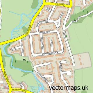
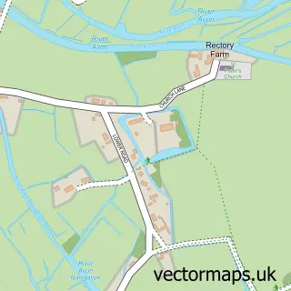
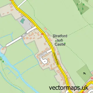
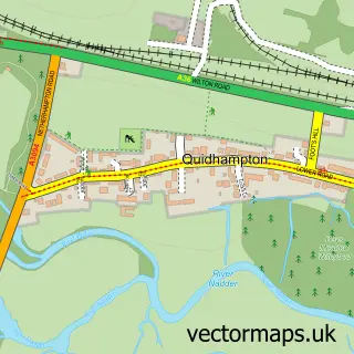
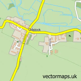
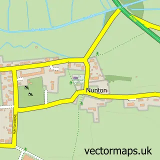
Nearby street map samples around Salisbury
More street maps in Wiltshire
750 metre map area coverage
Boundary, postcode and point of interest information for the 750m x 750m rectangle centred on this sample map.
Boundaries containing map centre
Constituency: Salisbury Co Const
District: Wiltshire
Icb: NHS Bath and North East Somerset Swindon and Wiltshire ICB
Parish: Salisbury CP
Police Force: wiltshire
Postcode District: SP1
Postcode Sector: SP1 1
Nearby boundaries intersecting sample
Postcode District: SP2
Postcode Sector: SP1 2, SP1 3, SP2 7
Postcode coverage
POI category counts
Pub: 35
Beauty Salon: 34
Hair Salon: 28
Clothing Store: 26
Jewelry Store: 26
Professional Services: 26
Real Estate Agent: 26
Dentist: 24
Shoe Store: 20
Cafe: 18
Sample points of interest
- Poddington Cottage
- Sarum College
- Berkeley Bate Ltd. | Chartered Accountants
- Donohue Smith & Hartwell Ltd
- Fawcetts
- Hugh Davies & Co. Ltd.
- Numeric Accounting
- Stephenson Sheppard & Co.
- Outback poker
- Dr Tengs
- Jo Phillips Acupuncture
- Kay Hay Acupuncture
Create a larger editable map of Salisbury
This sample shows only a 750 metre area. To create a larger map of Salisbury, use our map builder to choose your own coverage area, add titles and download editable SVG, PDF and PNG files.
Create a custom map of Salisbury