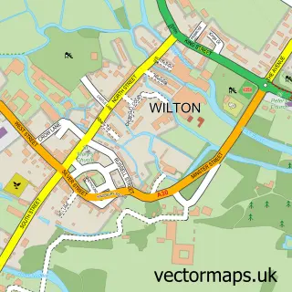
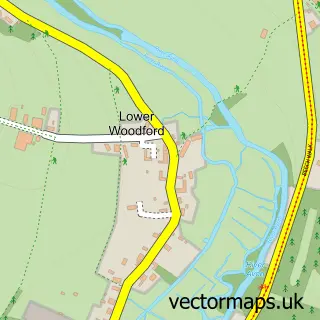
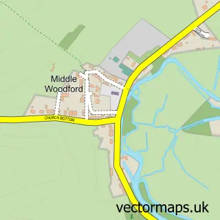
This Quidhampton street map is a detailed vector street map covering a 750m x 750m area. Select a larger area to create and download your own vector street map of Quidhampton.
The 750-metre map sample for Quidhampton covers 110 mapped buildings and approximately 7.8 km of road detail, of which 11 named roads are named. The immediate area includes 2 GP surgeries within 2 miles, 2 pubs and 20 MOT stations within 2 miles. The wider area around Quidhampton features 2 food and drink venues, 1 hotel and 1 campsite within 2 miles. To create a larger or custom map of Quidhampton, the map builder lets you define your own coverage area and download editable SVG, PDF and PNG files.
Create a larger editable map of Quidhampton
Choose any area you need and generate a high-quality vector map instantly. Perfect for print, planning, design, business and personal use.

This Quidhampton street map in Wiltshire is available as downloadable SVG, PDF and PNG map files, or as a printed map for planning, business, display, education, local information and design work. You can also create a larger custom map area using the map selector.
What this Quidhampton map sample shows
Quidhampton lies within Quidhampton Cp parish, part of Wilton And Lower Wylye Valley ward in the Wiltshire local authority area. The postcode geography for this area includes the SP postcode area, the SP2 postcode district and the SP2 9 postcode sector. Residents fall under the Nhs Bath And North East Somerset, Swindon And Wiltshire Integrated Care Board for NHS services.
Local features near Quidhampton
Within 2 milesAmenities and services in and around Quidhampton.
Administrative and postcode information for Quidhampton
The local authority covering Quidhampton is Wiltshire, within the county of Wiltshire. The settlement lies within Wilton And Lower Wylye Valley ward and Quidhampton Cp civil parish. The SP2 postcode district and SP2 9 postcode sector serve the immediate area. NHS provision in the area is delivered through Salisbury Nhs Foundation Trust.
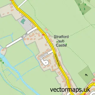
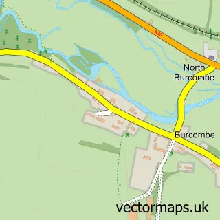
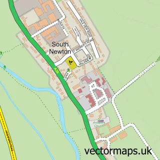
Nearby street map samples around Quidhampton

More street maps in Wiltshire
750 metre map area coverage
Boundary, postcode and point of interest information for the 750m x 750m rectangle centred on this sample map.
Boundaries containing map centre
Constituency: Salisbury Co Const
District: Wiltshire
Icb: NHS Bath and North East Somerset Swindon and Wiltshire ICB
Parish: Quidhampton CP
Police Force: wiltshire
Postcode District: SP2
Postcode Sector: SP2 9
Nearby boundaries intersecting sample
Parish: Salisbury CP, Wilton CP
Postcode Sector: SP2 0, SP2 8
Postcode coverage
POI category counts
Pub: 2
Advertising Agency: 1
Beer Bar: 1
Beverage Store: 1
Community Center: 1
Holiday Rental Home: 1
Hotel: 1
Painting: 1
Private School: 1
Sign Making: 1
Sample points of interest
- Morgan Roberts
- White Horse
- White Horse Inn
- Quidhampton Village Hall
- The Apartments at Quidhampton Mill
- Quidhampton Mill
- RCS Decorators
- Dave-Robson
- The White Horse
- The White Horse at Quidhampton
- Bigbox Graphics
Create a larger editable map of Quidhampton
This sample shows only a 750 metre area. To create a larger map of Quidhampton, use our map builder to choose your own coverage area, add titles and download editable SVG, PDF and PNG files.
Create a custom map of Quidhampton