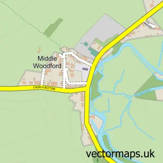
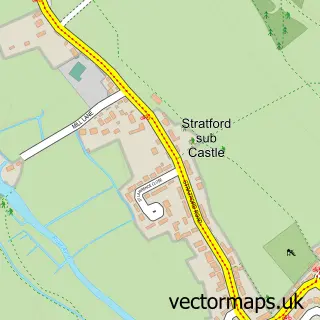
This Lower Woodford street map is a detailed vector street map covering a 750m x 750m area. Select a larger area to create and download your own vector street map of Lower Woodford.
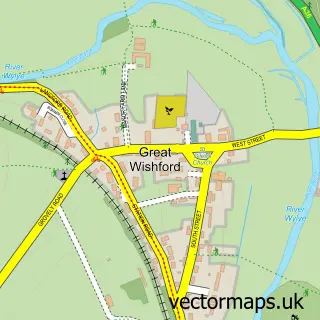
The 750-metre map sample for Lower Woodford covers 76 mapped buildings and approximately 9.4 km of road detail, of which 1 named road are named. The immediate area includes 2 pubs and 2 MOT stations within 2 miles. The wider area around Lower Woodford features 1 tourism point of interest and 2 food and drink venues. To create a larger or custom map of Lower Woodford, the map builder lets you define your own coverage area and download editable SVG, PDF and PNG files.
Create a larger editable map of Lower Woodford
Choose any area you need and generate a high-quality vector map instantly. Perfect for print, planning, design, business and personal use.

This Lower Woodford street map in Wiltshire is available as downloadable SVG, PDF and PNG map files, or as a printed map for planning, business, display, education, local information and design work. You can also create a larger custom map area using the map selector.
What this Lower Woodford map sample shows
Lower Woodford lies within Woodford Cp parish, part of Bourne And Woodford Valley ward in the Wiltshire local authority area. The postcode geography for this area includes the SP postcode area, the SP4 postcode district and the SP4 6 postcode sector. Residents fall under the Nhs Bath And North East Somerset, Swindon And Wiltshire Integrated Care Board for NHS services.
Local features near Lower Woodford
Within 2 milesAmenities and services in and around Lower Woodford.
Administrative and postcode information for Lower Woodford
Lower Woodford lies within Woodford Cp parish, part of Bourne And Woodford Valley ward in the Wiltshire local authority area. The postcode geography for this area includes the SP postcode area, the SP4 postcode district and the SP4 6 postcode sector. Residents fall under the Nhs Bath And North East Somerset, Swindon And Wiltshire Integrated Care Board for NHS services.
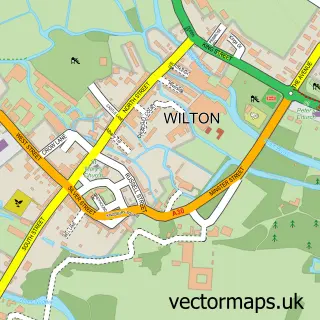
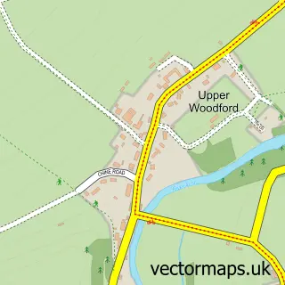
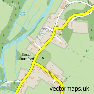
Nearby street map samples around Lower Woodford

More street maps in Wiltshire
750 metre map area coverage
Boundary, postcode and point of interest information for the 750m x 750m rectangle centred on this sample map.
Boundaries containing map centre
Constituency: East Wiltshire Co Const
District: Wiltshire
Icb: NHS Bath and North East Somerset Swindon and Wiltshire ICB
Parish: Woodford CP
Police Force: wiltshire
Postcode District: SP4
Postcode Sector: SP4 6
Nearby boundaries intersecting sample
Parish: Durnford CP
Postcode coverage
POI category counts
Bed And Breakfast: 2
Mass Media: 2
Pub: 2
Art Gallery: 1
Automotive Storage Facility: 1
Environmental Conservation Organization: 1
Environmental Testing: 1
Farming Services: 1
Forestry Service: 1
Landmark And Historical Building: 1
Sample points of interest
- Editions Alecto
- Dart Motor Storage
- Stonehenge Cottages
- Stonehenge Cottages
- Cain Bio Engineering
- Five Rivers Environmental Contracting
- Andersons Midlands
- Greenlink Forestry
- Lower Woodford
- Riverside Publishing Solutions
- Riverside Publishing Solutions Ltd.
- The Wheatsheaf
Create a larger editable map of Lower Woodford
This sample shows only a 750 metre area. To create a larger map of Lower Woodford, use our map builder to choose your own coverage area, add titles and download editable SVG, PDF and PNG files.
Create a custom map of Lower Woodford