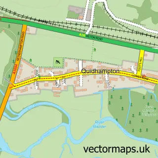
This Wilton street map is a detailed vector street map covering a 750m x 750m area. Select a larger area to create and download your own vector street map of Wilton.
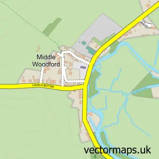
The 750-metre map sample for Wilton covers 205 mapped buildings and approximately 9.7 km of road detail, of which 23 named roads are named. The immediate area includes 1 GP surgery, 3 pubs and 5 MOT stations within 2 miles. The wider area around Wilton features 2 tourism points of interest, 10 food and drink venues and 1 campsite within 2 miles. To create a larger or custom map of Wilton, the map builder lets you define your own coverage area and download editable SVG, PDF and PNG files.
Create a larger editable map of Wilton
Choose any area you need and generate a high-quality vector map instantly. Perfect for print, planning, design, business and personal use.

This Wilton street map in Wiltshire is available as downloadable SVG, PDF and PNG map files, or as a printed map for planning, business, display, education, local information and design work. You can also create a larger custom map area using the map selector.
What this Wilton map sample shows
Wilton lies within Wilton Cp parish, part of Wilton And Lower Wylye Valley ward in the Wiltshire local authority area. The postcode geography for this area includes the SP postcode area, the SP2 postcode district and the SP2 0 postcode sector. Residents fall under the Nhs Bath And North East Somerset, Swindon And Wiltshire Integrated Care Board for NHS services.
Local features near Wilton
Within 2 milesAmenities and services in and around Wilton.
Administrative and postcode information for Wilton
Wilton lies within Wilton Cp parish, part of Wilton And Lower Wylye Valley ward in the Wiltshire local authority area. The postcode geography for this area includes the SP postcode area, the SP2 postcode district and the SP2 0 postcode sector. Residents fall under the Nhs Bath And North East Somerset, Swindon And Wiltshire Integrated Care Board for NHS services.
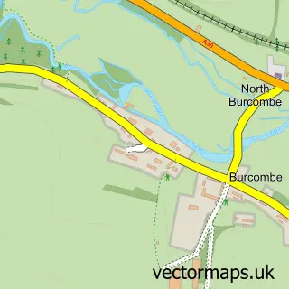
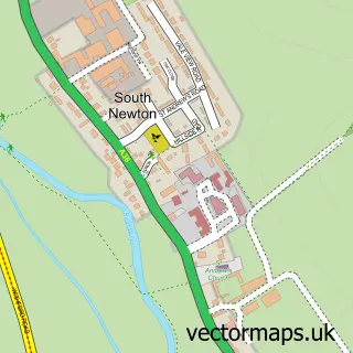
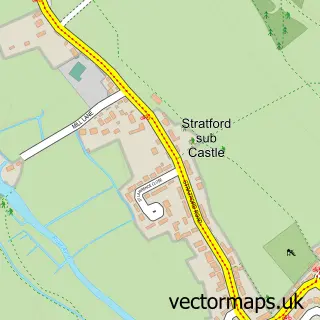
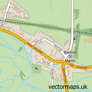
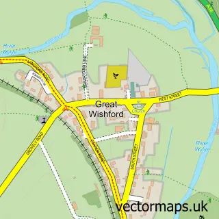
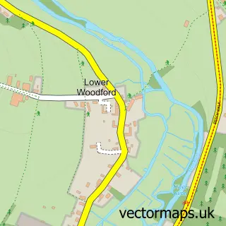
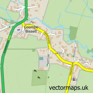
Nearby street map samples around Wilton

More street maps in Wiltshire
750 metre map area coverage
Boundary, postcode and point of interest information for the 750m x 750m rectangle centred on this sample map.
Boundaries containing map centre
Constituency: Salisbury Co Const
District: Wiltshire
Icb: NHS Bath and North East Somerset Swindon and Wiltshire ICB
Parish: Wilton CP
Police Force: wiltshire
Postcode District: SP2
Postcode Sector: SP2 0
Nearby boundaries intersecting sample
No additional intersecting boundaries found.
Postcode coverage
POI category counts
Beauty Salon: 5
Cafe: 4
Church Cathedral: 4
Hair Salon: 4
Bookstore: 3
Doctor: 3
Flowers And Gifts Shop: 3
Professional Services: 3
Pub: 3
Sports Club And League: 3
Sample points of interest
- Wilton FC
- Valley News
- Fugglestone: St Peter
- The Classic Architecture Company
- Annie's Out of House Wool Shop
- Naish Felts
- Coade
- The Cooperative Food Wilton - Salisbury, Wilton
- Hudson's Field Open Space
- Wilton Classic & Supercar
- Elite Panel Craft
- Reeve the Baker
Create a larger editable map of Wilton
This sample shows only a 750 metre area. To create a larger map of Wilton, use our map builder to choose your own coverage area, add titles and download editable SVG, PDF and PNG files.
Create a custom map of Wilton