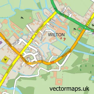
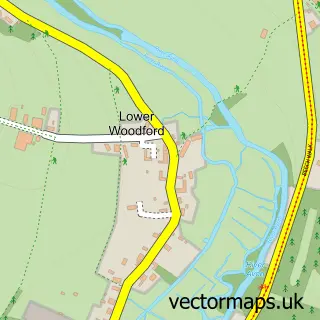
This Great Wishford street map is a detailed vector street map covering a 750m x 750m area. Select a larger area to create and download your own vector street map of Great Wishford.
The 750-metre map sample for Great Wishford covers 126 mapped buildings and approximately 14.3 km of road detail, of which 7 named roads are named. The immediate area includes 1 school, 1 pub and 1 MOT station within 2 miles. The wider area around Great Wishford features 2 tourism points of interest and 1 food and drink venue. To create a larger or custom map of Great Wishford, the map builder lets you define your own coverage area and download editable SVG, PDF and PNG files.
Create a larger editable map of Great Wishford
Choose any area you need and generate a high-quality vector map instantly. Perfect for print, planning, design, business and personal use.

This Great Wishford street map in Wiltshire is available as downloadable SVG, PDF and PNG map files, or as a printed map for planning, business, display, education, local information and design work. You can also create a larger custom map area using the map selector.
What this Great Wishford map sample shows
Great Wishford lies within South Newton Cp parish, part of Wilton And Lower Wylye Valley ward in the Wiltshire local authority area. The postcode geography for this area includes the SP postcode area, the SP2 postcode district and the SP2 0 postcode sector. Residents fall under the Nhs Bath And North East Somerset, Swindon And Wiltshire Integrated Care Board for NHS services.
Local features near Great Wishford
Within 2 milesAmenities and services in and around Great Wishford.
Administrative and postcode information for Great Wishford
The local authority covering Great Wishford is Wiltshire, within the county of Wiltshire. The settlement lies within Wilton And Lower Wylye Valley ward and South Newton Cp civil parish. The SP2 postcode district and SP2 0 postcode sector serve the immediate area. NHS provision in the area is delivered through Salisbury Nhs Foundation Trust.
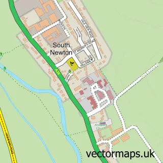
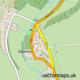
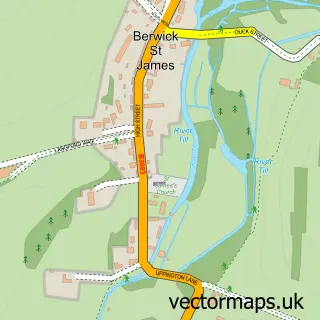
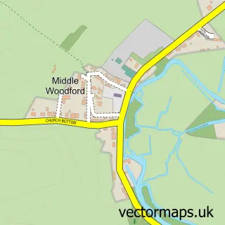
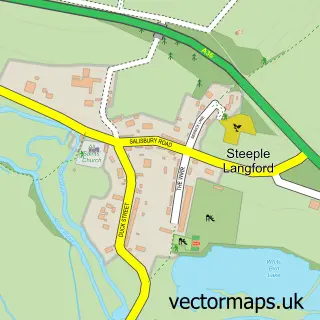
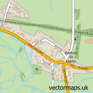
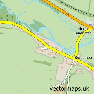
Nearby street map samples around Great Wishford

More street maps in Wiltshire
750 metre map area coverage
Boundary, postcode and point of interest information for the 750m x 750m rectangle centred on this sample map.
Boundaries containing map centre
Constituency: East Wiltshire Co Const
District: Wiltshire
Icb: NHS Bath and North East Somerset Swindon and Wiltshire ICB
Parish: Great Wishford CP
Police Force: wiltshire
Postcode District: SP2
Postcode Sector: SP2 0
Nearby boundaries intersecting sample
Parish: South Newton CP
Postcode coverage
POI category counts
Bed And Breakfast: 2
Landmark And Historical Building: 2
Anglican Church: 1
Beverage Store: 1
Damage Restoration: 1
Elementary School: 1
Lawn Mower Store: 1
Pub: 1
Sample points of interest
- Great Wishford: St Giles
- The Old Post House
- The Old Post House
- CLA Containers
- Lime Restoration
- Great Wishford CEVA Primary School
- Great Wishford
- Wishford
- S M H Quads And More
- The Royal Oak
Create a larger editable map of Great Wishford
This sample shows only a 750 metre area. To create a larger map of Great Wishford, use our map builder to choose your own coverage area, add titles and download editable SVG, PDF and PNG files.
Create a custom map of Great Wishford