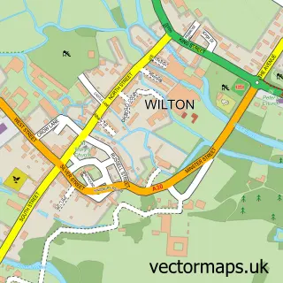
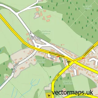
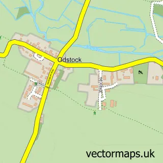
This Laverstock street map is a detailed vector street map covering a 750m x 750m area. Select a larger area to create and download your own vector street map of Laverstock.
The 750-metre map sample for Laverstock covers 345 mapped buildings and approximately 13.4 km of road detail, of which 28 named roads are named. The immediate area includes 4 GP surgeries within 2 miles, 1 pub and 23 MOT stations within 2 miles. The wider area around Laverstock features 2 tourism points of interest, 1 food and drink venue and 1 campsite within 2 miles. To create a larger or custom map of Laverstock, the map builder lets you define your own coverage area and download editable SVG, PDF and PNG files.
Create a larger editable map of Laverstock
Choose any area you need and generate a high-quality vector map instantly. Perfect for print, planning, design, business and personal use.

This Laverstock street map in Wiltshire is available as downloadable SVG, PDF and PNG map files, or as a printed map for planning, business, display, education, local information and design work. You can also create a larger custom map area using the map selector.
What this Laverstock map sample shows
Laverstock lies within Laverstock Cp parish, part of Laverstock, Ford And Old Sarum ward in the Wiltshire local authority area. The postcode geography for this area includes the SP postcode area, the SP1 postcode district and the SP1 1 postcode sector. Residents fall under the Nhs Bath And North East Somerset, Swindon And Wiltshire Integrated Care Board for NHS services.
Local features near Laverstock
Within 2 milesAmenities and services in and around Laverstock.
Administrative and postcode information for Laverstock
Laverstock lies within Laverstock Cp parish, part of Laverstock, Ford And Old Sarum ward in the Wiltshire local authority area. The postcode geography for this area includes the SP postcode area, the SP1 postcode district and the SP1 1 postcode sector. Residents fall under the Nhs Bath And North East Somerset, Swindon And Wiltshire Integrated Care Board for NHS services.
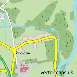
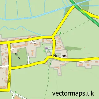
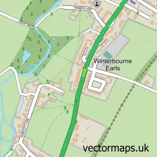
Nearby street map samples around Laverstock

More street maps in Wiltshire
750 metre map area coverage
Boundary, postcode and point of interest information for the 750m x 750m rectangle centred on this sample map.
Boundaries containing map centre
Constituency: Salisbury Co Const
District: Wiltshire
Icb: NHS Bath and North East Somerset Swindon and Wiltshire ICB
Parish: Laverstock CP
Police Force: wiltshire
Postcode District: SP1
Postcode Sector: SP1 1
Nearby boundaries intersecting sample
Parish: Salisbury CP
Postcode Sector: SP1 2
Postcode coverage
POI category counts
It Service And Computer Repair: 2
Assisted Living Facility: 1
Beauty Salon: 1
Building Contractor: 1
Child Care And Day Care: 1
Community Services Non Profits: 1
Electrician: 1
Gardener: 1
Hiking Trail: 1
Home Service: 1
Sample points of interest
- Little Manor Nursing Home
- A Touch Of Tranquillity Beauty Salon Salisbury.
- J.Dec Fencing and Landscapes
- Sarah's Little Stars Childminding
- Whitebridge Library
- CFS Electrical
- Bacons
- Burroughs Hill, Laverstock
- Simon Tubb Painters & Decorators Ltd
- P & R Builders
- Adept Computer Support
- D-Trak
Create a larger editable map of Laverstock
This sample shows only a 750 metre area. To create a larger map of Laverstock, use our map builder to choose your own coverage area, add titles and download editable SVG, PDF and PNG files.
Create a custom map of Laverstock