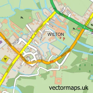
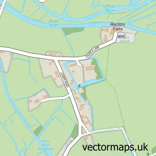
This Bodenham street map is a detailed vector street map covering a 750m x 750m area. Select a larger area to create and download your own vector street map of Bodenham.
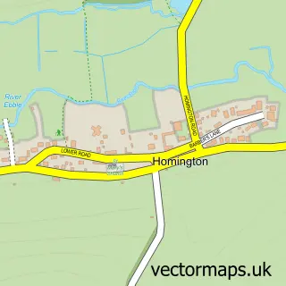
The 750-metre map sample for Bodenham covers 42 mapped buildings and approximately 8.7 km of road detail. The immediate area includes 3 MOT stations within 2 miles. To create a larger or custom map of Bodenham, the map builder lets you define your own coverage area and download editable SVG, PDF and PNG files.
Create a larger editable map of Bodenham
Choose any area you need and generate a high-quality vector map instantly. Perfect for print, planning, design, business and personal use.

This Bodenham street map in Wiltshire is available as downloadable SVG, PDF and PNG map files, or as a printed map for planning, business, display, education, local information and design work. You can also create a larger custom map area using the map selector.
What this Bodenham map sample shows
Bodenham lies within Odstock Cp parish, part of Downton And Ebble Valley ward in the Wiltshire local authority area. The postcode geography for this area includes the SP postcode area, the SP5 postcode district and the SP5 4 postcode sector. Residents fall under the Nhs Bath And North East Somerset, Swindon And Wiltshire Integrated Care Board for NHS services.
Local features near Bodenham
Within 2 milesAmenities and services in and around Bodenham.
Administrative and postcode information for Bodenham
Bodenham lies within Odstock Cp parish, part of Downton And Ebble Valley ward in the Wiltshire local authority area. The postcode geography for this area includes the SP postcode area, the SP5 postcode district and the SP5 4 postcode sector. Residents fall under the Nhs Bath And North East Somerset, Swindon And Wiltshire Integrated Care Board for NHS services.
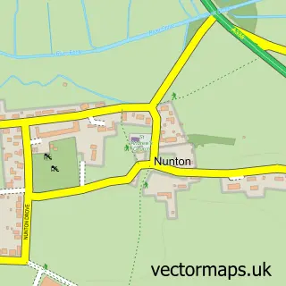
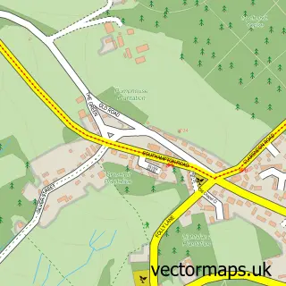
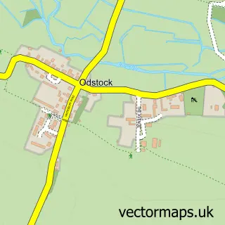
Nearby street map samples around Bodenham

More street maps in Wiltshire
750 metre map area coverage
Boundary, postcode and point of interest information for the 750m x 750m rectangle centred on this sample map.
Boundaries containing map centre
Constituency: Salisbury Co Const
District: Wiltshire
Icb: NHS Bath and North East Somerset Swindon and Wiltshire ICB
Parish: Odstock CP
Police Force: wiltshire
Postcode District: SP5
Postcode Sector: SP5 4
Nearby boundaries intersecting sample
Parish: Alderbury CP, Downton CP
Postcode Sector: SP5 3
Postcode coverage
POI category counts
Alternative Medicine: 1
Community Services Non Profits: 1
Cottage: 1
Doctor: 1
Event Planning: 1
Hospital: 1
Nursing School: 1
Post Office: 1
Real Estate Agent: 1
Sewing And Alterations: 1
Sample points of interest
- New Forest Osteopathy
- Bodenham Village, Wiltshire
- The Thatched Hive
- The Grosvenor Practice LLP
- The Radnor Hall
- New Hall Hospital
- New Hall Hospital
- Post Office
- Atlas Planning Group
- Couture Tailoring of Downton
- Salisbury Poultry Club
Create a larger editable map of Bodenham
This sample shows only a 750 metre area. To create a larger map of Bodenham, use our map builder to choose your own coverage area, add titles and download editable SVG, PDF and PNG files.
Create a custom map of Bodenham