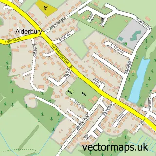
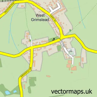
This Alderbury street map is a detailed vector street map covering a 750m x 750m area. Select a larger area to create and download your own vector street map of Alderbury.
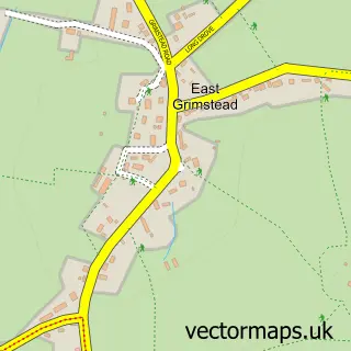
The 750-metre map sample for Alderbury covers 137 mapped buildings and approximately 10.2 km of road detail, of which 11 named roads are named. The immediate area includes 2 pubs and 3 MOT stations within 2 miles. The wider area around Alderbury features 2 food and drink venues. To create a larger or custom map of Alderbury, the map builder lets you define your own coverage area and download editable SVG, PDF and PNG files.
Create a larger editable map of Alderbury
Choose any area you need and generate a high-quality vector map instantly. Perfect for print, planning, design, business and personal use.

This Alderbury street map in Wiltshire is available as downloadable SVG, PDF and PNG map files, or as a printed map for planning, business, display, education, local information and design work. You can also create a larger custom map area using the map selector.
What this Alderbury map sample shows
Alderbury lies within Alderbury Cp parish, part of Alderbury And Whiteparish ward in the Wiltshire local authority area. The postcode geography for this area includes the SP postcode area, the SP5 postcode district and the SP5 3 postcode sector. Residents fall under the Nhs Bath And North East Somerset, Swindon And Wiltshire Integrated Care Board for NHS services.
Local features near Alderbury
Within 2 milesAmenities and services in and around Alderbury.
Administrative and postcode information for Alderbury
Alderbury lies within Alderbury Cp parish, part of Alderbury And Whiteparish ward in the Wiltshire local authority area. The postcode geography for this area includes the SP postcode area, the SP5 postcode district and the SP5 3 postcode sector. Residents fall under the Nhs Bath And North East Somerset, Swindon And Wiltshire Integrated Care Board for NHS services.
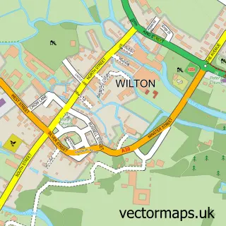
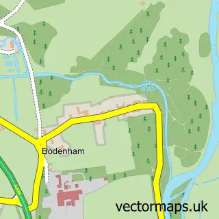
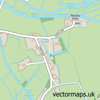
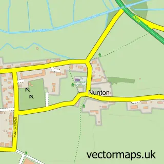
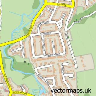
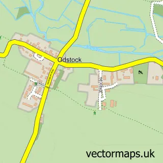
Nearby street map samples around Alderbury

More street maps in Wiltshire
750 metre map area coverage
Boundary, postcode and point of interest information for the 750m x 750m rectangle centred on this sample map.
Boundaries containing map centre
Constituency: Salisbury Co Const
District: Wiltshire
Icb: NHS Bath and North East Somerset Swindon and Wiltshire ICB
Parish: Alderbury CP
Police Force: wiltshire
Postcode District: SP5
Postcode Sector: SP5 3
Nearby boundaries intersecting sample
Parish: Clarendon Park CP
Postcode coverage
POI category counts
Automotive Repair: 2
Pub: 2
Auto Upholstery: 1
Butcher Shop: 1
Event Planning: 1
Janitorial Services: 1
Motorcycle Dealer: 1
Printing Services: 1
Reflexology: 1
Travel Services: 1
Sample points of interest
- Upholstery Workshop
- A & J Vehicle Services
- Shb
- Forest Edge Meats
- Loos2Go
- Loos 2 Go
- GreaseGurus
- Belmont Fine Arts
- Green Dragon
- The Green Dragon
- Karen Parker Reflexology
- Andante Travels
Create a larger editable map of Alderbury
This sample shows only a 750 metre area. To create a larger map of Alderbury, use our map builder to choose your own coverage area, add titles and download editable SVG, PDF and PNG files.
Create a custom map of Alderbury