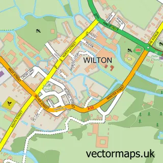
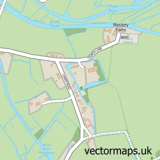
This Odstock street map is a detailed vector street map covering a 750m x 750m area. Select a larger area to create and download your own vector street map of Odstock.
The 750-metre map sample for Odstock covers 87 mapped buildings and approximately 12.0 km of road detail, of which 2 named roads are named. The immediate area includes 1 pub and 1 MOT station within 2 miles. The wider area around Odstock features 1 food and drink venue. To create a larger or custom map of Odstock, the map builder lets you define your own coverage area and download editable SVG, PDF and PNG files.
Create a larger editable map of Odstock
Choose any area you need and generate a high-quality vector map instantly. Perfect for print, planning, design, business and personal use.

This Odstock street map in Wiltshire is available as downloadable SVG, PDF and PNG map files, or as a printed map for planning, business, display, education, local information and design work. You can also create a larger custom map area using the map selector.
What this Odstock map sample shows
Odstock lies within Odstock Cp parish, part of Downton And Ebble Valley ward in the Wiltshire local authority area. The postcode geography for this area includes the SP postcode area, the SP5 postcode district and the SP5 4 postcode sector. Residents fall under the Nhs Bath And North East Somerset, Swindon And Wiltshire Integrated Care Board for NHS services.
Local features near Odstock
Within 2 milesAmenities and services in and around Odstock.
Administrative and postcode information for Odstock
The local authority covering Odstock is Wiltshire, within the county of Wiltshire. The settlement lies within Downton And Ebble Valley ward and Odstock Cp civil parish. The SP5 postcode district and SP5 4 postcode sector serve the immediate area. NHS provision in the area is delivered through Salisbury Nhs Foundation Trust.
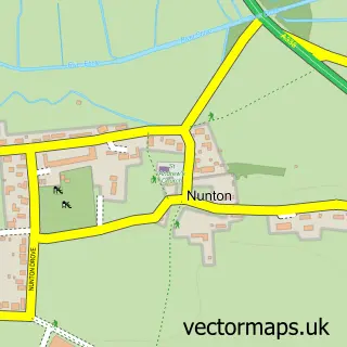
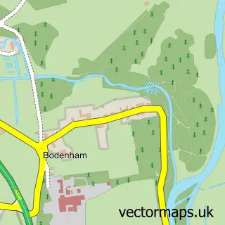
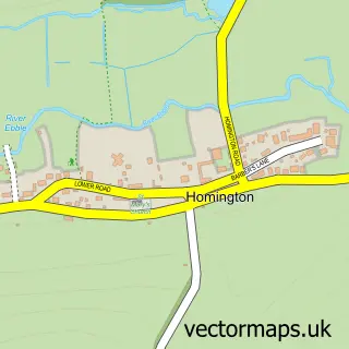
Nearby street map samples around Odstock


More street maps in Wiltshire
750 metre map area coverage
Boundary, postcode and point of interest information for the 750m x 750m rectangle centred on this sample map.
Boundaries containing map centre
Constituency: Salisbury Co Const
District: Wiltshire
Icb: NHS Bath and North East Somerset Swindon and Wiltshire ICB
Parish: Odstock CP
Police Force: wiltshire
Postcode District: SP5
Postcode Sector: SP5 4
Nearby boundaries intersecting sample
No additional intersecting boundaries found.
Postcode coverage
POI category counts
Bed And Breakfast: 1
Dentist: 1
Elementary School: 1
Farm: 1
Gastropub: 1
Home Service: 1
Nail Salon: 1
Pub: 1
Stadium Arena: 1
Video Film Production: 1
Sample points of interest
- Hillside
- The Barn Dental & Cosmetic Clinic
- Odstock Primary School
- Longford Farms
- Yew Tree Inn
- Kindred Odstock Day Nursery and Pre-School
- Pure & Exquisite Nails by Kimberley
- The Yew Tree Inn
- The Pump Track - Salisbury
- Packway Films & Video
Create a larger editable map of Odstock
This sample shows only a 750 metre area. To create a larger map of Odstock, use our map builder to choose your own coverage area, add titles and download editable SVG, PDF and PNG files.
Create a custom map of Odstock