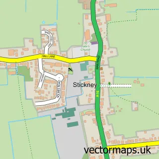
This East Kirkby street map is a detailed vector street map covering a 750m x 750m area. Select a larger area to create and download your own vector street map of East Kirkby.
The 750-metre map sample for East Kirkby covers 123 mapped buildings and approximately 8.4 km of road detail, of which 4 named roads are named. The immediate area includes 1 pub. The wider area around East Kirkby features 1 tourism point of interest, 1 food and drink venue and 1 campsite within 2 miles. To create a larger or custom map of East Kirkby, the map builder lets you define your own coverage area and download editable SVG, PDF and PNG files.
Create a larger editable map of East Kirkby
Choose any area you need and generate a high-quality vector map instantly. Perfect for print, planning, design, business and personal use.

This East Kirkby street map in Lincolnshire is available as downloadable SVG, PDF and PNG map files, or as a printed map for planning, business, display, education, local information and design work. You can also create a larger custom map area using the map selector.
What this East Kirkby map sample shows
East Kirkby lies within East Kirkby Cp parish, part of Halton Holegate ward in the East Lindsey District local authority area. The postcode geography for this area includes the PE postcode area, the PE23 postcode district and the PE23 4 postcode sector. Residents fall under the Nhs Lincolnshire Integrated Care Board for NHS services.
Local features near East Kirkby
Within 2 milesAmenities and services in and around East Kirkby.
Administrative and postcode information for East Kirkby
The local authority covering East Kirkby is East Lindsey District, within the county of Lincolnshire. The settlement lies within Halton Holegate ward and East Kirkby Cp civil parish. The PE23 postcode district and PE23 4 postcode sector serve the immediate area. NHS provision in the area is delivered through United Lincolnshire Hospitals Nhs Trust.
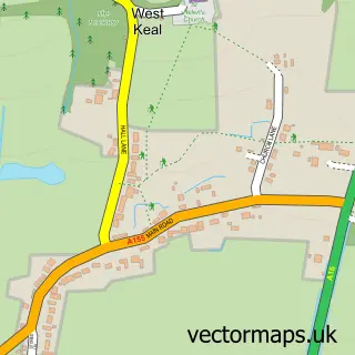
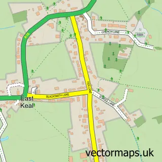
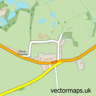
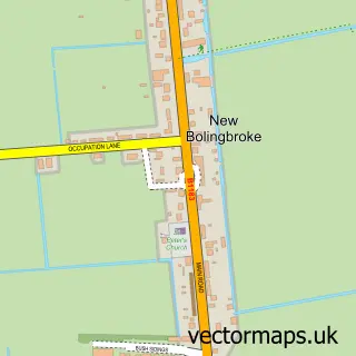
Nearby street map samples around East Kirkby
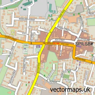

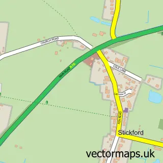
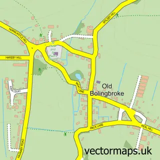
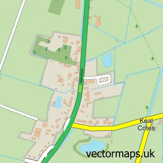
More street maps in Lincolnshire
750 metre map area coverage
Boundary, postcode and point of interest information for the 750m x 750m rectangle centred on this sample map.
Boundaries containing map centre
Constituency: Louth and Horncastle Co Const
County: Lincolnshire County
District: East Lindsey District
Icb: NHS Lincolnshire ICB
Parish: East Kirkby CP
Police Force: lincolnshire
Postcode District: PE23
Postcode Sector: PE23 4
Ward: Halton Holegate Ward
Nearby boundaries intersecting sample
No additional intersecting boundaries found.
Postcode coverage
POI category counts
Bed And Breakfast: 2
Driving School: 2
Gas Station: 2
Armed Forces Branch: 1
Aviation Museum: 1
Campground: 1
Child Care And Day Care: 1
Eat And Drink: 1
Medical Center: 1
Pub: 1
Sample points of interest
- RAF East Kirkby
- Lincolnshire Aviation Heritage Centre
- Chapel House B & B
- East Kirkby Bed And Breakfast
- East Kirkby Hideaway
- The Tree House Children's Centre
- Motorcycle Training 101 - Lincolnshire
- Motorcycle Training 101 Lincolnshire
- East Kirkby Shop & Cafe
- East Kirkby Service Station & Auto Gas
- East Kirkby Service Station & Village Store inc Maidens Mowers
- Manor Care Centre
Create a larger editable map of East Kirkby
This sample shows only a 750 metre area. To create a larger map of East Kirkby, use our map builder to choose your own coverage area, add titles and download editable SVG, PDF and PNG files.
Create a custom map of East Kirkby