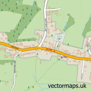
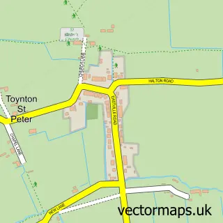
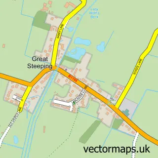
This Spilsby street map is a detailed vector street map covering a 750m x 750m area. Select a larger area to create and download your own vector street map of Spilsby.
The 750-metre map sample for Spilsby covers 533 mapped buildings and approximately 14.5 km of road detail, of which 35 named roads are named. The immediate area includes 1 primary school and 1 secondary school, 1 GP surgery, 3 pubs and 1 MOT station, with 5 within 2 miles. The wider area around Spilsby features 8 food and drink venues and 2 hotels. To create a larger or custom map of Spilsby, the map builder lets you define your own coverage area and download editable SVG, PDF and PNG files.
Create a larger editable map of Spilsby
Choose any area you need and generate a high-quality vector map instantly. Perfect for print, planning, design, business and personal use.

This Spilsby street map in Lincolnshire is available as downloadable SVG, PDF and PNG map files, or as a printed map for planning, business, display, education, local information and design work. You can also create a larger custom map area using the map selector.
What this Spilsby map sample shows
Spilsby lies within Spilsby Cp parish, part of Spilsby ward in the East Lindsey District local authority area. The postcode geography for this area includes the PE postcode area, the PE23 postcode district and the PE23 5 postcode sector. Residents fall under the Nhs Lincolnshire Integrated Care Board for NHS services.
Local features near Spilsby
Within 2 milesAmenities and services in and around Spilsby.
Administrative and postcode information for Spilsby
Spilsby lies within Spilsby Cp parish, part of Spilsby ward in the East Lindsey District local authority area. The postcode geography for this area includes the PE postcode area, the PE23 postcode district and the PE23 5 postcode sector. Residents fall under the Nhs Lincolnshire Integrated Care Board for NHS services.
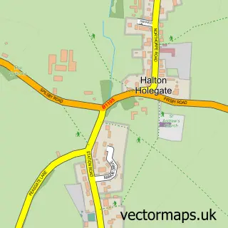
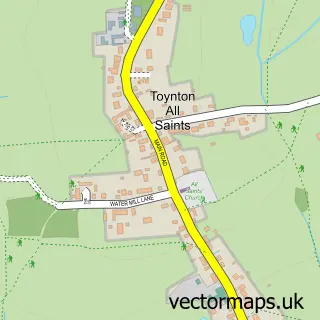
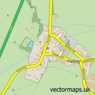
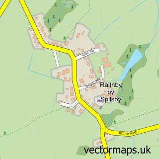
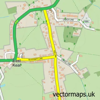
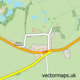
Nearby street map samples around Spilsby

More street maps in Lincolnshire
750 metre map area coverage
Boundary, postcode and point of interest information for the 750m x 750m rectangle centred on this sample map.
Boundaries containing map centre
Constituency: Louth and Horncastle Co Const
County: Lincolnshire County
District: East Lindsey District
Icb: NHS Lincolnshire ICB
Parish: Spilsby CP
Police Force: lincolnshire
Postcode District: PE23
Postcode Sector: PE23 5
Ward: Spilsby Ward
Nearby boundaries intersecting sample
No additional intersecting boundaries found.
Postcode coverage
POI category counts
Church Cathedral: 7
Beauty Salon: 5
Cafe: 4
Convenience Store: 4
Professional Services: 4
Real Estate Agent: 4
School: 4
Building Supply Store: 3
Community Services Non Profits: 3
Flowers And Gifts Shop: 3
Sample points of interest
- Applecroft Design & Print
- Chandlers
- St James, Spilsby
- Spilsby Franklin Hall
- Ashby Court 1-6
- Prospect House
- Payzone
- Spilsby motor spares
- A E Wildman & Son
- Franklin House Bakery
- Greggs
- Barclays Bank
Create a larger editable map of Spilsby
This sample shows only a 750 metre area. To create a larger map of Spilsby, use our map builder to choose your own coverage area, add titles and download editable SVG, PDF and PNG files.
Create a custom map of Spilsby