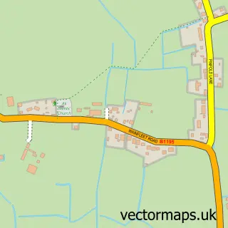
This Great Steeping street map is a detailed vector street map covering a 750m x 750m area. Select a larger area to create and download your own vector street map of Great Steeping.
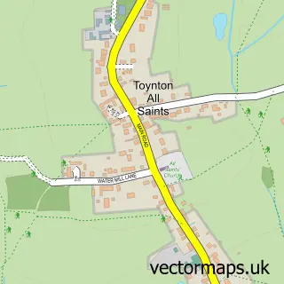
The 750-metre map sample for Great Steeping covers 141 mapped buildings and approximately 6.6 km of road detail, of which 6 named roads are named. The immediate area includes 1 school and 1 MOT station, with 2 within 2 miles. The wider area around Great Steeping features 2 tourism points of interest and 2 campsites within 2 miles. To create a larger or custom map of Great Steeping, the map builder lets you define your own coverage area and download editable SVG, PDF and PNG files.
Create a larger editable map of Great Steeping
Choose any area you need and generate a high-quality vector map instantly. Perfect for print, planning, design, business and personal use.

This Great Steeping street map in Lincolnshire is available as downloadable SVG, PDF and PNG map files, or as a printed map for planning, business, display, education, local information and design work. You can also create a larger custom map area using the map selector.
What this Great Steeping map sample shows
Great Steeping lies within Great Steeping Cp parish, part of Croft ward in the East Lindsey District local authority area. The postcode geography for this area includes the PE postcode area, the PE23 postcode district and the PE23 5 postcode sector. Residents fall under the Nhs Lincolnshire Integrated Care Board for NHS services.
Local features near Great Steeping
Within 2 milesAmenities and services in and around Great Steeping.
Administrative and postcode information for Great Steeping
The local authority covering Great Steeping is East Lindsey District, within the county of Lincolnshire. The settlement lies within Croft ward and Great Steeping Cp civil parish. The PE23 postcode district and PE23 5 postcode sector serve the immediate area. NHS provision in the area is delivered through United Lincolnshire Hospitals Nhs Trust.
Nearby street map samples around Great Steeping
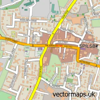

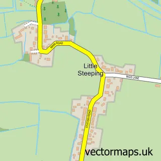
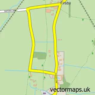
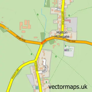
More street maps in Lincolnshire
750 metre map area coverage
Boundary, postcode and point of interest information for the 750m x 750m rectangle centred on this sample map.
Boundaries containing map centre
Constituency: Boston and Skegness Co Const
County: Lincolnshire County
District: East Lindsey District
Icb: NHS Lincolnshire ICB
Parish: Great Steeping CP
Police Force: lincolnshire
Postcode District: PE23
Postcode Sector: PE23 5
Ward: Croft Ward
Nearby boundaries intersecting sample
No additional intersecting boundaries found.
Postcode coverage
POI category counts
Campground: 2
Pet Services: 2
Anglican Church: 1
Animal Shelter: 1
Childrens Clothing Store: 1
Dog Trainer: 1
Education: 1
Elementary School: 1
Kids Recreation And Party: 1
Pet Store: 1
Sample points of interest
- All Saints, Great Steeping
- Northcote Horses & Animals
- The Limes Campsite
- The Limes Campsite Spilsby
- Kaypee Alternatives
- Debbie's Dog Training Centre
- Great Steeping Primary School
- Great Steeping Primary School
- Northcote Heavy Horse Centre
- Debbie's Dog Boarding
- Debbie's Dog Boarding
- Ichthus Canine Centre
Create a larger editable map of Great Steeping
This sample shows only a 750 metre area. To create a larger map of Great Steeping, use our map builder to choose your own coverage area, add titles and download editable SVG, PDF and PNG files.
Create a custom map of Great Steeping