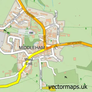
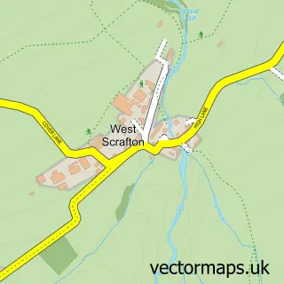
This East Witton street map is a detailed vector street map covering a 750m x 750m area. Select a larger area to create and download your own vector street map of East Witton.
The 750-metre map sample for East Witton covers 93 mapped buildings and approximately 9.3 km of road detail, of which 2 named roads are named. The immediate area includes 2 MOT stations within 2 miles. The wider area around East Witton features 1 food and drink venue and 1 hotel. To create a larger or custom map of East Witton, the map builder lets you define your own coverage area and download editable SVG, PDF and PNG files.
Create a larger editable map of East Witton
Choose any area you need and generate a high-quality vector map instantly. Perfect for print, planning, design, business and personal use.

This East Witton street map in North Yorkshire is available as downloadable SVG, PDF and PNG map files, or as a printed map for planning, business, display, education, local information and design work. You can also create a larger custom map area using the map selector.
What this East Witton map sample shows
East Witton lies within East Witton Cp parish, part of Middleham ward in the North Yorkshire local authority area. The postcode geography for this area includes the DL postcode area, the DL8 postcode district and the DL8 4 postcode sector. Residents fall under the Nhs Humber And North Yorkshire Integrated Care Board for NHS services.
Local features near East Witton
Within 2 milesAmenities and services in and around East Witton.
Administrative and postcode information for East Witton
The local authority covering East Witton is North Yorkshire, within the county of North Yorkshire. The settlement lies within Middleham ward and East Witton Cp civil parish. The DL8 postcode district and DL8 4 postcode sector serve the immediate area. NHS provision in the area is delivered through South Tees Hospitals Nhs Foundation Trust.
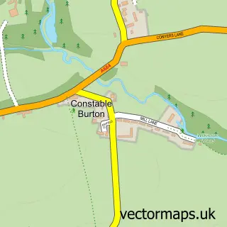
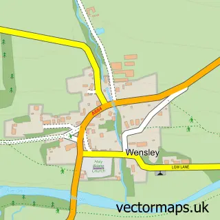
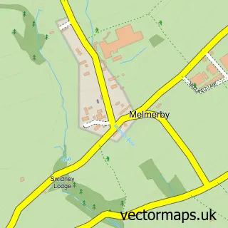
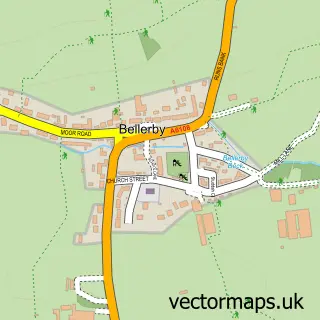
Nearby street map samples around East Witton

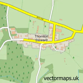
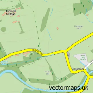
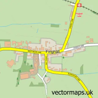
More street maps in North Yorkshire
750 metre map area coverage
Boundary, postcode and point of interest information for the 750m x 750m rectangle centred on this sample map.
Boundaries containing map centre
Constituency: Richmond and Northallerton Co Const
District: North Yorkshire
Icb: NHS Humber and North Yorkshire ICB
Parish: East Witton CP
Police Force: north yorkshire
Postcode District: DL8
Postcode Sector: DL8 4
Nearby boundaries intersecting sample
No additional intersecting boundaries found.
Postcode coverage
POI category counts
Anglican Church: 1
Breakfast And Brunch Restaurant: 1
Community Center: 1
Cottage: 1
Holiday Rental Home: 1
Hotel: 1
Inn: 1
Post Office: 1
Restaurant: 1
Sample points of interest
- East Witton: St John the Evangelist
- Braithwaite Hall Bed & Breakfast
- East Witton Village Hall
- East Witton Shepherds Hut
- The Old Chapel, East Witton, Leyburn, North Yorkshire
- Pear Tree Cottage & Granary
- The Blue Lion Inn
- East Witton Post Office
- The Cover Bridge Inn
Create a larger editable map of East Witton
This sample shows only a 750 metre area. To create a larger map of East Witton, use our map builder to choose your own coverage area, add titles and download editable SVG, PDF and PNG files.
Create a custom map of East Witton