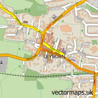
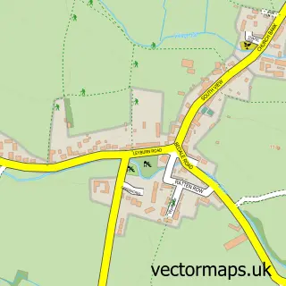
This Bellerby street map is a detailed vector street map covering a 750m x 750m area. Select a larger area to create and download your own vector street map of Bellerby.
The 750-metre map sample for Bellerby covers 137 mapped buildings and approximately 6.8 km of road detail, of which 6 named roads are named. The immediate area includes 1 GP surgery within 2 miles, 1 pub and 1 MOT station, with 5 within 2 miles. The wider area around Bellerby features 3 food and drink venues and 3 campsites within 2 miles. To create a larger or custom map of Bellerby, the map builder lets you define your own coverage area and download editable SVG, PDF and PNG files.
Create a larger editable map of Bellerby
Choose any area you need and generate a high-quality vector map instantly. Perfect for print, planning, design, business and personal use.

This Bellerby street map in North Yorkshire is available as downloadable SVG, PDF and PNG map files, or as a printed map for planning, business, display, education, local information and design work. You can also create a larger custom map area using the map selector.
What this Bellerby map sample shows
Bellerby lies within Bellerby Cp parish, part of Leyburn ward in the North Yorkshire local authority area. The postcode geography for this area includes the DL postcode area, the DL8 postcode district and the DL8 5 postcode sector. Residents fall under the Nhs Humber And North Yorkshire Integrated Care Board for NHS services.
Local features near Bellerby
Within 2 milesAmenities and services in and around Bellerby.
Administrative and postcode information for Bellerby
The local authority covering Bellerby is North Yorkshire, within the county of North Yorkshire. The settlement lies within Leyburn ward and Bellerby Cp civil parish. The DL8 postcode district and DL8 5 postcode sector serve the immediate area. NHS provision in the area is delivered through South Tees Hospitals Nhs Foundation Trust.
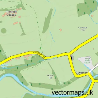
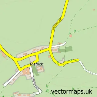
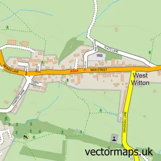
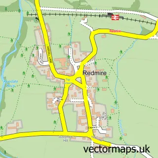
Nearby street map samples around Bellerby

More street maps in North Yorkshire
750 metre map area coverage
Boundary, postcode and point of interest information for the 750m x 750m rectangle centred on this sample map.
Boundaries containing map centre
Constituency: Richmond and Northallerton Co Const
District: North Yorkshire
Icb: NHS Humber and North Yorkshire ICB
Parish: Bellerby CP
Police Force: north yorkshire
Postcode District: DL8
Postcode Sector: DL8 5
Nearby boundaries intersecting sample
No additional intersecting boundaries found.
Postcode coverage
POI category counts
Automotive Repair: 3
Cottage: 2
Anglican Church: 1
Auto Detailing: 1
Building Supply Store: 1
Cafe: 1
Clothing Store: 1
Community Services Non Profits: 1
Holiday Rental Home: 1
Professional Services: 1
Sample points of interest
- St John's, Bellerby
- Bellerby Carwash
- Auto-Moto
- Automoto racing
- James Fryer Mechanic
- A Star Scaffolding
- The Manor Farm Cafe Bellerby
- Total Biker Accessories
- Bellerby Memorial Hall
- Cherry Tree Cottage
- Stable Cottage - Bellerby
- Button Cottage
Create a larger editable map of Bellerby
This sample shows only a 750 metre area. To create a larger map of Bellerby, use our map builder to choose your own coverage area, add titles and download editable SVG, PDF and PNG files.
Create a custom map of Bellerby