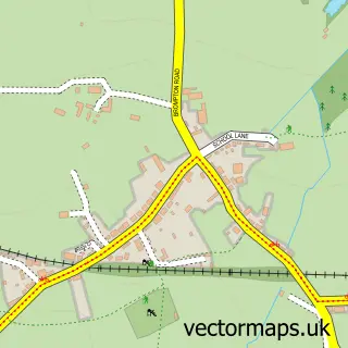
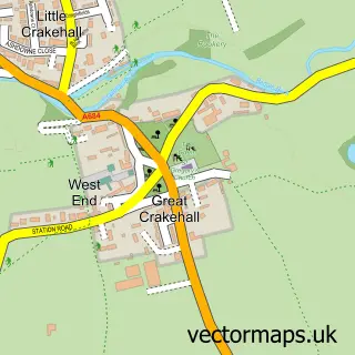
This Hunton street map is a detailed vector street map covering a 750m x 750m area. Select a larger area to create and download your own vector street map of Hunton.
The 750-metre map sample for Hunton covers 141 mapped buildings and approximately 7.5 km of road detail, of which 9 named roads are named. The immediate area includes 1 school, 2 pubs and 2 MOT stations within 2 miles. The wider area around Hunton features 1 tourism point of interest, 2 food and drink venues and 1 campsite within 2 miles. To create a larger or custom map of Hunton, the map builder lets you define your own coverage area and download editable SVG, PDF and PNG files.
Create a larger editable map of Hunton
Choose any area you need and generate a high-quality vector map instantly. Perfect for print, planning, design, business and personal use.

This Hunton street map in North Yorkshire is available as downloadable SVG, PDF and PNG map files, or as a printed map for planning, business, display, education, local information and design work. You can also create a larger custom map area using the map selector.
What this Hunton map sample shows
Hunton lies within Hunton Cp parish, part of Scotton ward in the North Yorkshire local authority area. The postcode geography for this area includes the DL postcode area, the DL8 postcode district and the DL8 1 postcode sector. Residents fall under the Nhs Humber And North Yorkshire Integrated Care Board for NHS services.
Local features near Hunton
Within 2 milesAmenities and services in and around Hunton.
Administrative and postcode information for Hunton
Hunton lies within Hunton Cp parish, part of Scotton ward in the North Yorkshire local authority area. The postcode geography for this area includes the DL postcode area, the DL8 postcode district and the DL8 1 postcode sector. Residents fall under the Nhs Humber And North Yorkshire Integrated Care Board for NHS services.
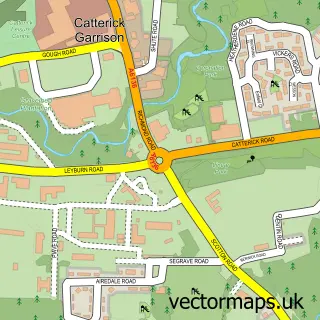
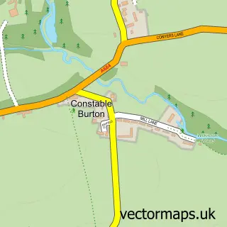
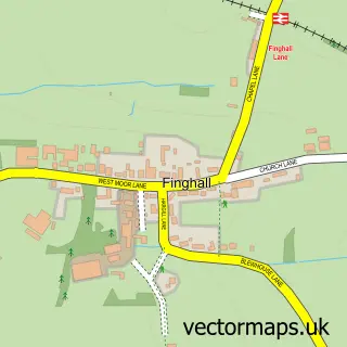
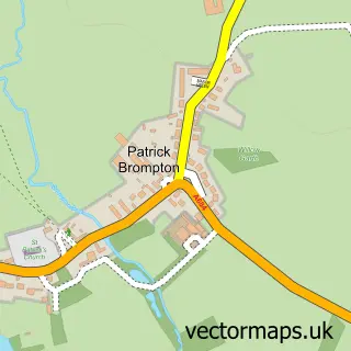
Nearby street map samples around Hunton

More street maps in North Yorkshire
750 metre map area coverage
Boundary, postcode and point of interest information for the 750m x 750m rectangle centred on this sample map.
Boundaries containing map centre
Constituency: Richmond and Northallerton Co Const
District: North Yorkshire
Icb: NHS Humber and North Yorkshire ICB
Parish: Hunton CP
Police Force: north yorkshire
Postcode District: DL8
Postcode Sector: DL8 1
Nearby boundaries intersecting sample
No additional intersecting boundaries found.
Postcode coverage
POI category counts
Pub: 2
Campground: 1
Chimney Sweep: 1
Community Center: 1
Engineering Services: 1
Gas Station: 1
Gym: 1
Shipping Center: 1
Storage Facility: 1
Truck Rentals: 1
Sample points of interest
- Low Hall Farm Caravan Site
- Clean sweeps
- Hunton And Arrathorne Village Hall
- Prime Drive & Controls
- JET
- Countryman's Community Pub Society Ltd
- Countryman's Inn
- The Countryman's Inn
- Post Office
- YoreStore
- Icicle Vehicle Solutions Ltd.
Create a larger editable map of Hunton
This sample shows only a 750 metre area. To create a larger map of Hunton, use our map builder to choose your own coverage area, add titles and download editable SVG, PDF and PNG files.
Create a custom map of Hunton