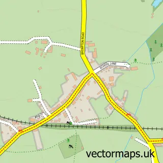
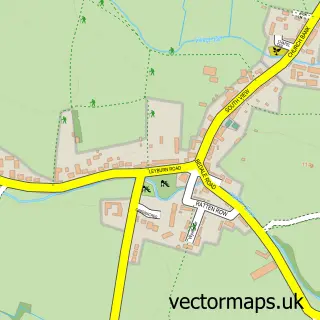
This Patrick Brompton street map is a detailed vector street map covering a 750m x 750m area. Select a larger area to create and download your own vector street map of Patrick Brompton.
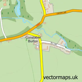
The 750-metre map sample for Patrick Brompton covers 84 mapped buildings and approximately 7.1 km of road detail, of which 2 named roads are named. The immediate area includes 2 pubs. The wider area around Patrick Brompton features 2 food and drink venues and 1 hotel. To create a larger or custom map of Patrick Brompton, the map builder lets you define your own coverage area and download editable SVG, PDF and PNG files.
Create a larger editable map of Patrick Brompton
Choose any area you need and generate a high-quality vector map instantly. Perfect for print, planning, design, business and personal use.

This Patrick Brompton street map in North Yorkshire is available as downloadable SVG, PDF and PNG map files, or as a printed map for planning, business, display, education, local information and design work. You can also create a larger custom map area using the map selector.
What this Patrick Brompton map sample shows
Patrick Brompton lies within Patrick Brompton Cp parish, part of Lower Wensleydale ward in the North Yorkshire local authority area. The postcode geography for this area includes the DL postcode area, the DL8 postcode district and the DL8 1 postcode sector. Residents fall under the Nhs Humber And North Yorkshire Integrated Care Board for NHS services.
Local features near Patrick Brompton
Within 2 milesAmenities and services in and around Patrick Brompton.
Administrative and postcode information for Patrick Brompton
Patrick Brompton lies within Patrick Brompton Cp parish, part of Lower Wensleydale ward in the North Yorkshire local authority area. The postcode geography for this area includes the DL postcode area, the DL8 postcode district and the DL8 1 postcode sector. Residents fall under the Nhs Humber And North Yorkshire Integrated Care Board for NHS services.
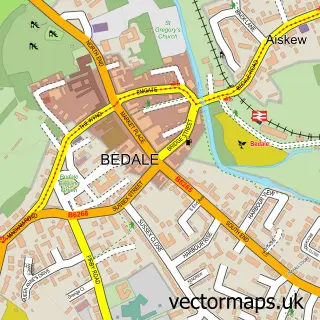
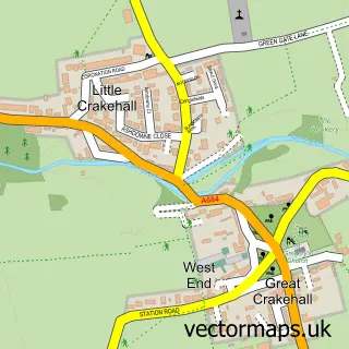
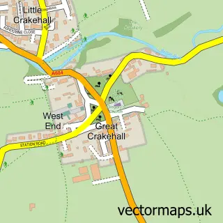
Nearby street map samples around Patrick Brompton

More street maps in North Yorkshire
750 metre map area coverage
Boundary, postcode and point of interest information for the 750m x 750m rectangle centred on this sample map.
Boundaries containing map centre
Constituency: Richmond and Northallerton Co Const
District: North Yorkshire
Icb: NHS Humber and North Yorkshire ICB
Parish: Patrick Brompton CP
Police Force: north yorkshire
Postcode District: DL8
Postcode Sector: DL8 1
Nearby boundaries intersecting sample
No additional intersecting boundaries found.
Postcode coverage
POI category counts
Anglican Church: 2
Holiday Rental Home: 2
Pub: 2
Gym: 1
Nature Reserve: 1
Rv Park: 1
Yoga Studio: 1
Sample points of interest
- Lower Wensleydale Churches
- Patrick Brompton: St Patrick
- Patrick Brompton Hall, Yorkshire.
- Arbour Hill - Bijou Holiday Cottages for Couples - Yorkshire Dales
- Dalesend Cottages at Patrick Brompton Hall, Bedale, Yorkshire
- The Yorkshire Walled Garden
- Green Tree
- The Green Tree inn
- Old Park House Farm CL Site
- Yogaspace Yorkshire
Create a larger editable map of Patrick Brompton
This sample shows only a 750 metre area. To create a larger map of Patrick Brompton, use our map builder to choose your own coverage area, add titles and download editable SVG, PDF and PNG files.
Create a custom map of Patrick Brompton