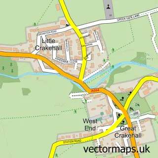
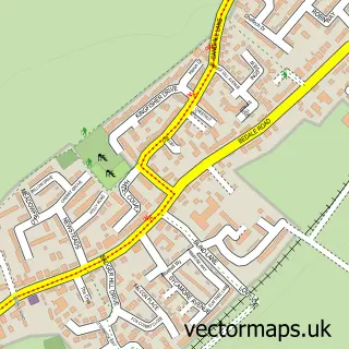
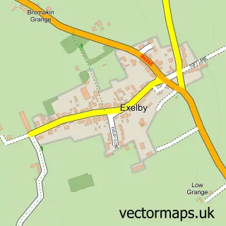
This Great Crakehall street map is a detailed vector street map covering a 750m x 750m area. Select a larger area to create and download your own vector street map of Great Crakehall.
The 750-metre map sample for Great Crakehall covers 161 mapped buildings and approximately 10.1 km of road detail, of which 6 named roads are named. The immediate area includes 1 school, 1 GP surgery within 2 miles and 3 pubs. The wider area around Great Crakehall features 1 tourism point of interest, 3 food and drink venues and 1 hotel. To create a larger or custom map of Great Crakehall, the map builder lets you define your own coverage area and download editable SVG, PDF and PNG files.
Create a larger editable map of Great Crakehall
Choose any area you need and generate a high-quality vector map instantly. Perfect for print, planning, design, business and personal use.

This Great Crakehall street map in North Yorkshire is available as downloadable SVG, PDF and PNG map files, or as a printed map for planning, business, display, education, local information and design work. You can also create a larger custom map area using the map selector.
What this Great Crakehall map sample shows
Great Crakehall lies within Crakehall Cp parish, part of Bedale ward in the North Yorkshire local authority area. The postcode geography for this area includes the DL postcode area, the DL8 postcode district and the DL8 1 postcode sector. Residents fall under the Nhs Humber And North Yorkshire Integrated Care Board for NHS services.
Local features near Great Crakehall
Within 2 milesAmenities and services in and around Great Crakehall.
Administrative and postcode information for Great Crakehall
Great Crakehall lies within Crakehall Cp parish, part of Bedale ward in the North Yorkshire local authority area. The postcode geography for this area includes the DL postcode area, the DL8 postcode district and the DL8 1 postcode sector. Residents fall under the Nhs Humber And North Yorkshire Integrated Care Board for NHS services.
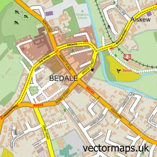
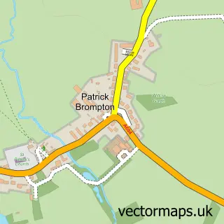
Nearby street map samples around Great Crakehall

More street maps in North Yorkshire
750 metre map area coverage
Boundary, postcode and point of interest information for the 750m x 750m rectangle centred on this sample map.
Boundaries containing map centre
Constituency: Thirsk and Malton Co Const
District: North Yorkshire
Icb: NHS Humber and North Yorkshire ICB
Parish: Crakehall CP
Police Force: north yorkshire
Postcode District: DL8
Postcode Sector: DL8 1
Nearby boundaries intersecting sample
No additional intersecting boundaries found.
Postcode coverage
POI category counts
Gas Station: 3
Pub: 3
Anglican Church: 1
Arts And Entertainment: 1
Bed And Breakfast: 1
Business Consulting: 1
Campground: 1
Carpenter: 1
Church Cathedral: 1
Elementary School: 1
Sample points of interest
- Crakehall: St Gregory's
- Great Crakehall
- Crakehall Watermill
- Diverse Matters
- Greengate Farm Camping & Caravan site
- Challis Interiors
- St Gregorys Church, Crakehall
- Crakehall CE Primary School
- Finchley House Curtains
- Challis Interiors
- Crakehall SS
- Esso Station
Create a larger editable map of Great Crakehall
This sample shows only a 750 metre area. To create a larger map of Great Crakehall, use our map builder to choose your own coverage area, add titles and download editable SVG, PDF and PNG files.
Create a custom map of Great Crakehall