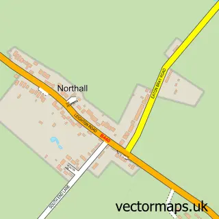
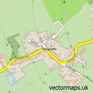
This Eaton Bray street map is a detailed vector street map covering a 750m x 750m area. Select a larger area to create and download your own vector street map of Eaton Bray.
The 750-metre map sample for Eaton Bray covers 304 mapped buildings and approximately 19.7 km of road detail, of which 21 named roads are named. The immediate area includes 1 GP surgery within 2 miles, 1 pub and 4 MOT stations within 2 miles. The wider area around Eaton Bray features 1 food and drink venue. To create a larger or custom map of Eaton Bray, the map builder lets you define your own coverage area and download editable SVG, PDF and PNG files.
Create a larger editable map of Eaton Bray
Choose any area you need and generate a high-quality vector map instantly. Perfect for print, planning, design, business and personal use.

This Eaton Bray street map in Bedfordshire is available as downloadable SVG, PDF and PNG map files, or as a printed map for planning, business, display, education, local information and design work. You can also create a larger custom map area using the map selector.
What this Eaton Bray map sample shows
Eaton Bray lies within Eaton Bray Cp parish, part of Eaton Bray ward in the Central Bedfordshire local authority area. The postcode geography for this area includes the LU postcode area, the LU6 postcode district and the LU6 2 postcode sector. Residents fall under the Nhs Bedfordshire, Luton And Milton Keynes Integrated Care Board for NHS services.
Local features near Eaton Bray
Within 2 milesAmenities and services in and around Eaton Bray.
Administrative and postcode information for Eaton Bray
The local authority covering Eaton Bray is Central Bedfordshire, within the county of Bedfordshire. The settlement lies within Eaton Bray ward and Eaton Bray Cp civil parish. The LU6 postcode district and LU6 2 postcode sector serve the immediate area. NHS provision in the area is delivered through Bedfordshire Hospitals Nhs Foundation Trust.
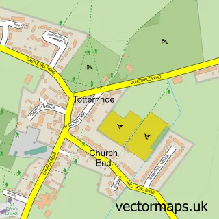
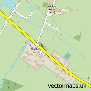
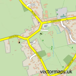
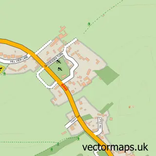
Nearby street map samples around Eaton Bray

More street maps in Bedfordshire
750 metre map area coverage
Boundary, postcode and point of interest information for the 750m x 750m rectangle centred on this sample map.
Boundaries containing map centre
Constituency: Luton South and South Bedfordshire Co Const
District: Central Bedfordshire
Icb: NHS Central East ICB
Parish: Eaton Bray CP
Police Force: bedfordshire
Postcode District: LU6
Postcode Sector: LU6 2
Ward: Eaton Bray Ward
Nearby boundaries intersecting sample
No additional intersecting boundaries found.
Postcode coverage
POI category counts
Church Cathedral: 3
Car Wash: 2
Martial Arts Club: 2
Professional Services: 2
Reflexology: 2
Anglican Church: 1
Automotive Repair: 1
Baby Gear And Furniture: 1
Beauty Salon: 1
Carpet Store: 1
Sample points of interest
- St Mary's Church Eaton Bray with Edlesborough
- Roebuck Garage
- Rhea's Baby Wear
- Coronated Beauty
- Diamond Hand Car Wash
- Last.Detailing
- Abbott Flooring
- Happy Valley
- Lumi Chocolate
- Church of St Mary, Eaton Bray
- Eaton Bray Methodist Church
- St Mary the Virgin C of E Church
Create a larger editable map of Eaton Bray
This sample shows only a 750 metre area. To create a larger map of Eaton Bray, use our map builder to choose your own coverage area, add titles and download editable SVG, PDF and PNG files.
Create a custom map of Eaton Bray