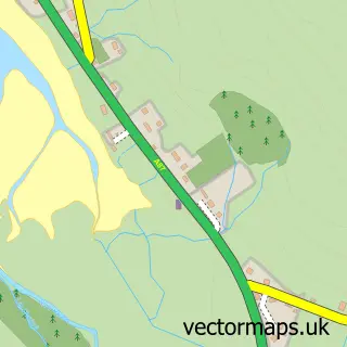
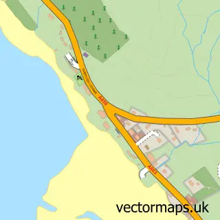
This Edinbane street map is a detailed vector street map covering a 750m x 750m area. Select a larger area to create and download your own vector street map of Edinbane.
The 750-metre map sample for Edinbane covers 47 mapped buildings and approximately 7.0 km of road detail. The immediate area includes 1 pub. The wider area around Edinbane features 2 tourism points of interest, 1 food and drink venue and 2 hotels. To create a larger or custom map of Edinbane, the map builder lets you define your own coverage area and download editable SVG, PDF and PNG files.
Create a larger editable map of Edinbane
Choose any area you need and generate a high-quality vector map instantly. Perfect for print, planning, design, business and personal use.

This Edinbane street map in Ross and Cromarty is available as downloadable SVG, PDF and PNG map files, or as a printed map for planning, business, display, education, local information and design work. You can also create a larger custom map area using the map selector.
What this Edinbane map sample shows
Edinbane lies within Highland parish, part of Eilean A Cheo ward in the Highland local authority area. The postcode geography for this area includes the IV postcode area, the IV51 postcode district and the IV51 9 postcode sector. Residents fall under the Highland for NHS services.
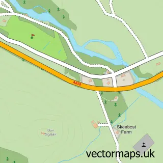
Local features near Edinbane
Within 2 milesAmenities and services in and around Edinbane.
Administrative and postcode information for Edinbane
The local authority covering Edinbane is Highland, within the county of Ross And Cromarty. The settlement lies within Eilean A Cheo ward and Highland civil parish. The IV51 postcode district and IV51 9 postcode sector serve the immediate area. NHS provision in the area is delivered through Highland.
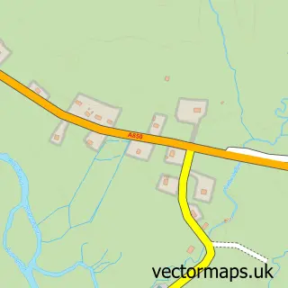
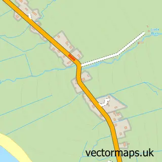
Nearby street map samples around Edinbane

More street maps in Ross and Cromarty
750 metre map area coverage
Boundary, postcode and point of interest information for the 750m x 750m rectangle centred on this sample map.
Boundaries containing map centre
Constituency: Inverness, Skye and West Ross-shire Co Const
District: Highland
Icb: Highland
Postcode District: IV51
Postcode Sector: IV51 9
Ward: Eilean a' Cheo Ward
Nearby boundaries intersecting sample
No additional intersecting boundaries found.
Postcode coverage
POI category counts
Campground: 2
Hotel: 2
Alternative Medicine: 1
Arts And Crafts: 1
Bed And Breakfast: 1
Cabin: 1
Community Services Non Profits: 1
Cottage: 1
Event Planning: 1
Furniture Store: 1
Sample points of interest
- Steps on the Croft
- Edinbane Pottery
- SkyeOwlswood and Owls Nest apartments
- Edinbane Self Catering
- Skye C&C Club, Loch Greshornish
- Skye Camping and Caravanning Club
- Edinbane School & Community Garden
- Annies Cottage
- MacKinnon Plant
- Harris Home Furnishings
- Mackinnon Cleaning Services
- Edinbane Pottery Ltd.
Create a larger editable map of Edinbane
This sample shows only a 750 metre area. To create a larger map of Edinbane, use our map builder to choose your own coverage area, add titles and download editable SVG, PDF and PNG files.
Create a custom map of Edinbane