This Edith Weston street map is a detailed vector street map covering a 750m x 750m area. Select a larger area to create and download your own vector street map of Edith Weston.
The 750-metre map sample for Edith Weston covers 162 mapped buildings and approximately 13.4 km of road detail, of which 12 named roads are named. The immediate area includes 2 pubs and 1 MOT station within 2 miles. The wider area around Edith Weston features 2 food and drink venues and 1 campsite within 2 miles. To create a larger or custom map of Edith Weston, the map builder lets you define your own coverage area and download editable SVG, PDF and PNG files.
Create a larger editable map of Edith Weston
Choose any area you need and generate a high-quality vector map instantly. Perfect for print, planning, design, business and personal use.

This Edith Weston street map in Rutland is available as downloadable SVG, PDF and PNG map files, or as a printed map for planning, business, display, education, local information and design work. You can also create a larger custom map area using the map selector.
What this Edith Weston map sample shows
Edith Weston lies within Edith Weston Cp parish, part of Normanton ward in the Rutland local authority area. The postcode geography for this area includes the LE postcode area, the LE15 postcode district and the LE15 8 postcode sector. Residents fall under the Nhs Leicester, Leicestershire And Rutland Integrated Care Board for NHS services.
Local features near Edith Weston
Within 2 milesAmenities and services in and around Edith Weston.
Administrative and postcode information for Edith Weston
The local authority covering Edith Weston is Rutland, within the county of Rutland. The settlement lies within Normanton ward and Edith Weston Cp civil parish. The LE15 postcode district and LE15 8 postcode sector serve the immediate area. NHS provision in the area is delivered through North West Anglia Nhs Foundation Trust.
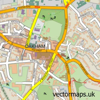
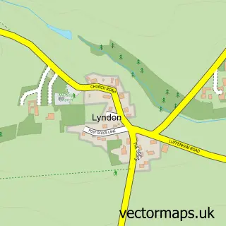
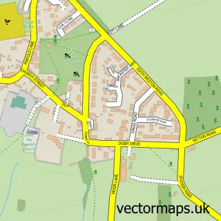
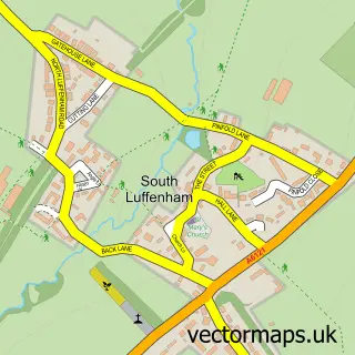
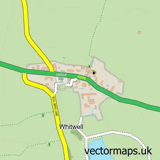
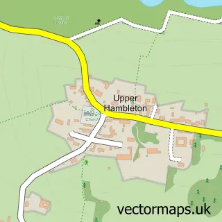
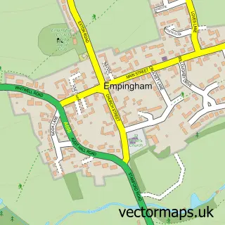
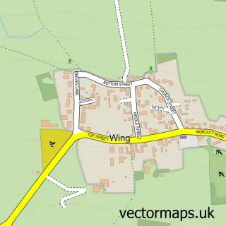
Nearby street map samples around Edith Weston

More street maps in Rutland
750 metre map area coverage
Boundary, postcode and point of interest information for the 750m x 750m rectangle centred on this sample map.
Boundaries containing map centre
Constituency: Rutland and Stamford Co Const
District: Rutland
Icb: NHS Leicester Leicestershire and Rutland ICB
Parish: Edith Weston CP
Police Force: leicestershire
Postcode District: LE15
Postcode Sector: LE15 8
Ward: Normanton Ward
Nearby boundaries intersecting sample
No additional intersecting boundaries found.
Postcode coverage
POI category counts
Pub: 2
Anglican Church: 1
Beach: 1
Bed And Breakfast: 1
Bicycle Shop: 1
Business Office Supplies And Stationery: 1
Cabin: 1
Church Cathedral: 1
Convenience Store: 1
Cottage: 1
Sample points of interest
- Edith Weston: St Mary the Virgin
- Sykes Lane Beach
- Old Hall Coach House
- Rutland Cycling
- Metasys Technologies
- America Lodge
- St Mary's Church, Edith Weston
- Edith Weston Village Store
- Snowdrop Cottage
- Karen Anns paws for thought
- Edith Weston Child Care Centre
- Le Manoir aux Quat'Saisons
Create a larger editable map of Edith Weston
This sample shows only a 750 metre area. To create a larger map of Edith Weston, use our map builder to choose your own coverage area, add titles and download editable SVG, PDF and PNG files.
Create a custom map of Edith Weston