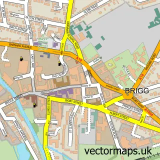
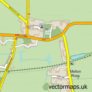
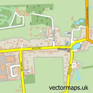
This Elsham street map is a detailed vector street map covering a 750m x 750m area. Select a larger area to create and download your own vector street map of Elsham.
The 750-metre map sample for Elsham covers 180 mapped buildings and approximately 13.7 km of road detail, of which 12 named roads are named. The immediate area includes 1 MOT station within 2 miles. The wider area around Elsham features 1 food and drink venue. To create a larger or custom map of Elsham, the map builder lets you define your own coverage area and download editable SVG, PDF and PNG files.
Create a larger editable map of Elsham
Choose any area you need and generate a high-quality vector map instantly. Perfect for print, planning, design, business and personal use.

This Elsham street map in Lincolnshire is available as downloadable SVG, PDF and PNG map files, or as a printed map for planning, business, display, education, local information and design work. You can also create a larger custom map area using the map selector.
What this Elsham map sample shows
Elsham lies within Elsham Cp parish, part of Brigg And Wolds ward in the North Lincolnshire (B) local authority area. The postcode geography for this area includes the DN postcode area, the DN20 postcode district and the DN20 0 postcode sector. Residents fall under the Nhs Humber And North Yorkshire Integrated Care Board for NHS services.
Local features near Elsham
Within 2 milesAmenities and services in and around Elsham.
Administrative and postcode information for Elsham
Elsham lies within Elsham Cp parish, part of Brigg And Wolds ward in the North Lincolnshire (B) local authority area. The postcode geography for this area includes the DN postcode area, the DN20 postcode district and the DN20 0 postcode sector. Residents fall under the Nhs Humber And North Yorkshire Integrated Care Board for NHS services.
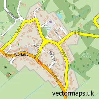
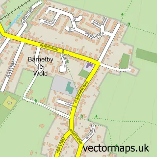
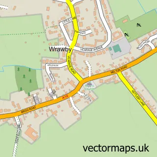
Nearby street map samples around Elsham

More street maps in Lincolnshire
750 metre map area coverage
Boundary, postcode and point of interest information for the 750m x 750m rectangle centred on this sample map.
Boundaries containing map centre
Constituency: Brigg and Immingham Co Const
District: North Lincolnshire (B)
Icb: NHS Humber and North Yorkshire ICB
Parish: Elsham CP
Police Force: humberside
Postcode District: DN20
Postcode Sector: DN20 0
Ward: Brigg & Wolds Ward
Nearby boundaries intersecting sample
No additional intersecting boundaries found.
Postcode coverage
POI category counts
Anglican Church: 1
Archery Range: 1
Automotive Repair: 1
Building Supply Store: 1
Cafe: 1
Carpenter: 1
Fishing Club: 1
Gardener: 1
Motorsports Store: 1
Retirement Home: 1
Sample points of interest
- All Saints, Elsham
- Elsham Archery Club
- Bosch Car Service - Elsham Garage Services
- Insu Line
- Hunters Lodge Cafe
- Resumesbot
- Hunters Lodge Fishery
- Landscape Botanica
- Garage33 Louth
- Holme Farm Residential Home
- UK Soccer
Create a larger editable map of Elsham
This sample shows only a 750 metre area. To create a larger map of Elsham, use our map builder to choose your own coverage area, add titles and download editable SVG, PDF and PNG files.
Create a custom map of Elsham