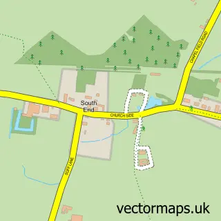
This Wootton street map is a detailed vector street map covering a 750m x 750m area. Select a larger area to create and download your own vector street map of Wootton.
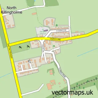
The 750-metre map sample for Wootton covers 220 mapped buildings and approximately 9.2 km of road detail, of which 8 named roads are named. The immediate area includes 1 school and 2 pubs. The wider area around Wootton features 2 food and drink venues. To create a larger or custom map of Wootton, the map builder lets you define your own coverage area and download editable SVG, PDF and PNG files.
Create a larger editable map of Wootton
Choose any area you need and generate a high-quality vector map instantly. Perfect for print, planning, design, business and personal use.

This Wootton street map in Lincolnshire is available as downloadable SVG, PDF and PNG map files, or as a printed map for planning, business, display, education, local information and design work. You can also create a larger custom map area using the map selector.
What this Wootton map sample shows
Wootton lies within Wootton Cp parish, part of Ferry ward in the North Lincolnshire (B) local authority area. The postcode geography for this area includes the DN postcode area, the DN39 postcode district and the DN39 6 postcode sector. Residents fall under the Nhs Humber And North Yorkshire Integrated Care Board for NHS services.
Local features near Wootton
Within 2 milesAmenities and services in and around Wootton.
Administrative and postcode information for Wootton
The local authority covering Wootton is North Lincolnshire (B), within the county of Lincolnshire. The settlement lies within Ferry ward and Wootton Cp civil parish. The DN39 postcode district and DN39 6 postcode sector serve the immediate area. NHS provision in the area is delivered through Northern Lincolnshire And Goole Nhs Foundation Trust.
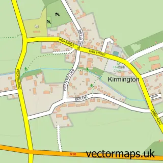
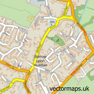
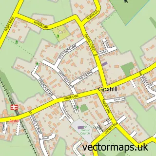
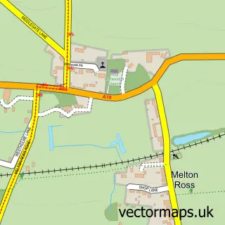
Nearby street map samples around Wootton

More street maps in Lincolnshire
750 metre map area coverage
Boundary, postcode and point of interest information for the 750m x 750m rectangle centred on this sample map.
Boundaries containing map centre
Constituency: Brigg and Immingham Co Const
District: North Lincolnshire (B)
Icb: NHS Humber and North Yorkshire ICB
Parish: Wootton CP
Police Force: humberside
Postcode District: DN39
Postcode Sector: DN39 6
Ward: Ferry Ward
Nearby boundaries intersecting sample
No additional intersecting boundaries found.
Postcode coverage
POI category counts
Professional Services: 3
Pub: 2
Storage Facility: 2
Alternative Medicine: 1
Anglican Church: 1
Animal Shelter: 1
Antique Store: 1
Auto Restoration Services: 1
Elementary School: 1
Painting: 1
Sample points of interest
- Visualisations Hypnotherapy
- St Andrew
- Gordon May's Purrrfect Cattery
- Bentley Cartwright Antiques and Salvage
- Artworks
- Wootton St Andrews C of E Primary School
- Lee Morgan Painter & Decorator
- Nick Shoot Photography
- Simplicity Photography
- The Gambia Project
- Nags Head
- The Nags Head Wootton
Create a larger editable map of Wootton
This sample shows only a 750 metre area. To create a larger map of Wootton, use our map builder to choose your own coverage area, add titles and download editable SVG, PDF and PNG files.
Create a custom map of Wootton