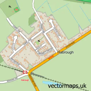
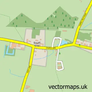
This Ulceby street map is a detailed vector street map covering a 750m x 750m area. Select a larger area to create and download your own vector street map of Ulceby.
The 750-metre map sample for Ulceby covers 404 mapped buildings and approximately 9.7 km of road detail, of which 24 named roads are named. The immediate area includes 1 school and 1 pub. The wider area around Ulceby features 1 tourism point of interest, 2 food and drink venues and 1 hotel. To create a larger or custom map of Ulceby, the map builder lets you define your own coverage area and download editable SVG, PDF and PNG files.
Create a larger editable map of Ulceby
Choose any area you need and generate a high-quality vector map instantly. Perfect for print, planning, design, business and personal use.

This Ulceby street map in Lincolnshire is available as downloadable SVG, PDF and PNG map files, or as a printed map for planning, business, display, education, local information and design work. You can also create a larger custom map area using the map selector.
What this Ulceby map sample shows
Ulceby lies within Ulceby Cp parish, part of Ferry ward in the North Lincolnshire (B) local authority area. The postcode geography for this area includes the DN postcode area, the DN39 postcode district and the DN39 6 postcode sector. Residents fall under the Nhs Humber And North Yorkshire Integrated Care Board for NHS services.
Local features near Ulceby
Within 2 milesAmenities and services in and around Ulceby.
Administrative and postcode information for Ulceby
Ulceby lies within Ulceby Cp parish, part of Ferry ward in the North Lincolnshire (B) local authority area. The postcode geography for this area includes the DN postcode area, the DN39 postcode district and the DN39 6 postcode sector. Residents fall under the Nhs Humber And North Yorkshire Integrated Care Board for NHS services.
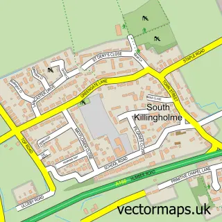
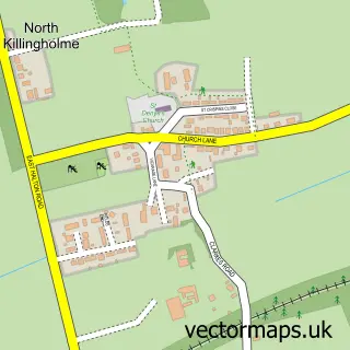
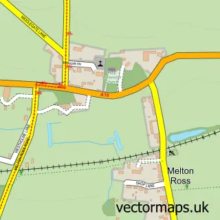
Nearby street map samples around Ulceby

More street maps in Lincolnshire
750 metre map area coverage
Boundary, postcode and point of interest information for the 750m x 750m rectangle centred on this sample map.
Boundaries containing map centre
Constituency: Brigg and Immingham Co Const
District: North Lincolnshire (B)
Icb: NHS Humber and North Yorkshire ICB
Parish: Ulceby CP
Police Force: humberside
Postcode District: DN39
Postcode Sector: DN39 6
Ward: Ferry Ward
Nearby boundaries intersecting sample
No additional intersecting boundaries found.
Postcode coverage
POI category counts
Bridal Shop: 3
Veterinarian: 3
Bed And Breakfast: 2
Professional Services: 2
Antique Store: 1
Automotive Repair: 1
Bangladeshi Restaurant: 1
Beauty And Spa: 1
Beauty Salon: 1
Charity Organization: 1
Sample points of interest
- Antique Jewellers
- Vehicle Diagnostics and Services
- Abdal's Kitchen
- Beauty & Sport Therapy by Nicole
- Beyoutiful nails Ulceby
- Gillingham Rest
- Ulceby Lodge Bed & Breakfast
- Bride Vibe
- Princess Bioux Tiaras
- The Ivory Gown
- Ulceby Village Association
- Dragon House Chinese Takeaway
Create a larger editable map of Ulceby
This sample shows only a 750 metre area. To create a larger map of Ulceby, use our map builder to choose your own coverage area, add titles and download editable SVG, PDF and PNG files.
Create a custom map of Ulceby