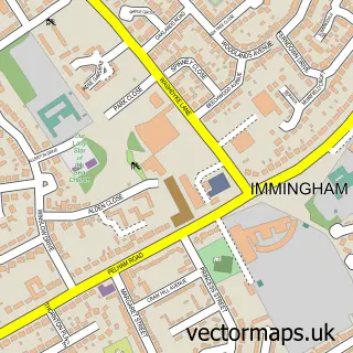
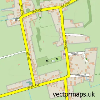
This Habrough street map is a detailed vector street map covering a 750m x 750m area. Select a larger area to create and download your own vector street map of Habrough.
The 750-metre map sample for Habrough covers 223 mapped buildings and approximately 10.5 km of road detail, of which 11 named roads are named. The immediate area includes 1 railway station, 1 GP surgery within 2 miles, 1 pub and 2 MOT stations within 2 miles. The wider area around Habrough features 1 food and drink venue. To create a larger or custom map of Habrough, the map builder lets you define your own coverage area and download editable SVG, PDF and PNG files.
Create a larger editable map of Habrough
Choose any area you need and generate a high-quality vector map instantly. Perfect for print, planning, design, business and personal use.

This Habrough street map in Lincolnshire is available as downloadable SVG, PDF and PNG map files, or as a printed map for planning, business, display, education, local information and design work. You can also create a larger custom map area using the map selector.
What this Habrough map sample shows
Habrough lies within Habrough Cp parish, part of Immingham ward in the North East Lincolnshire (B) local authority area. The postcode geography for this area includes the DN postcode area, the DN40 postcode district and the DN40 3 postcode sector. Residents fall under the Nhs Humber And North Yorkshire Integrated Care Board for NHS services.
Local features near Habrough
Within 2 milesAmenities and services in and around Habrough.
Administrative and postcode information for Habrough
The local authority covering Habrough is North East Lincolnshire (B), within the county of Lincolnshire. The settlement lies within Immingham ward and Habrough Cp civil parish. The DN40 postcode district and DN40 3 postcode sector serve the immediate area. NHS provision in the area is delivered through Northern Lincolnshire And Goole Nhs Foundation Trust.
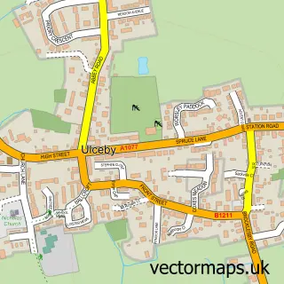
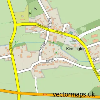
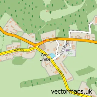
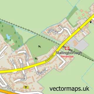
Nearby street map samples around Habrough

More street maps in Lincolnshire
750 metre map area coverage
Boundary, postcode and point of interest information for the 750m x 750m rectangle centred on this sample map.
Boundaries containing map centre
Constituency: Brigg and Immingham Co Const
District: North East Lincolnshire (B)
Icb: NHS Humber and North Yorkshire ICB
Parish: Habrough CP
Police Force: humberside
Postcode District: DN40
Postcode Sector: DN40 3
Ward: Immingham Ward
Nearby boundaries intersecting sample
No additional intersecting boundaries found.
Postcode coverage
POI category counts
Train Station: 3
Gun And Ammo: 2
Arts And Crafts: 1
Arts And Entertainment: 1
Automotive Repair: 1
Bridal Shop: 1
Delicatessen: 1
Engineering Services: 1
Information Technology Company: 1
Pet Services: 1
Sample points of interest
- The Stables Card Emporium
- Wendys Art
- ICC Trailer Repair Specialists
- Andrew Metcalfe Photography
- Duls Deli
- Spa Electron
- Southerton Guns
- Southerton Guns
- The Creative Agency
- Happy Tails Muddy Trails
- Keith Martin Photography
- The Station
Create a larger editable map of Habrough
This sample shows only a 750 metre area. To create a larger map of Habrough, use our map builder to choose your own coverage area, add titles and download editable SVG, PDF and PNG files.
Create a custom map of Habrough