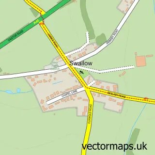
This Great Limber street map is a detailed vector street map covering a 750m x 750m area. Select a larger area to create and download your own vector street map of Great Limber.
The 750-metre map sample for Great Limber covers 99 mapped buildings and approximately 8.7 km of road detail, of which 5 named roads are named. The immediate area includes 1 pub. The wider area around Great Limber features 1 food and drink venue and 1 hotel. To create a larger or custom map of Great Limber, the map builder lets you define your own coverage area and download editable SVG, PDF and PNG files.
Create a larger editable map of Great Limber
Choose any area you need and generate a high-quality vector map instantly. Perfect for print, planning, design, business and personal use.

This Great Limber street map in Lincolnshire is available as downloadable SVG, PDF and PNG map files, or as a printed map for planning, business, display, education, local information and design work. You can also create a larger custom map area using the map selector.
What this Great Limber map sample shows
Great Limber lies within Great Limber Cp parish, part of Caistor And Yarborough ward in the West Lindsey District local authority area. The postcode geography for this area includes the DN postcode area, the DN37 postcode district and the DN37 8 postcode sector. Residents fall under the Nhs Lincolnshire Integrated Care Board for NHS services.
Local features near Great Limber
Within 2 milesAmenities and services in and around Great Limber.
Administrative and postcode information for Great Limber
The local authority covering Great Limber is West Lindsey District, within the county of Lincolnshire. The settlement lies within Caistor And Yarborough ward and Great Limber Cp civil parish. The DN37 postcode district and DN37 8 postcode sector serve the immediate area. NHS provision in the area is delivered through Northern Lincolnshire And Goole Nhs Foundation Trust.
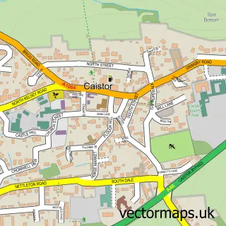
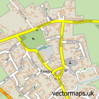
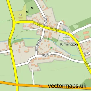
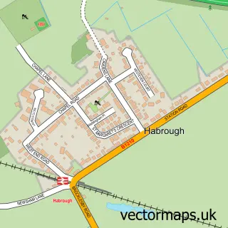
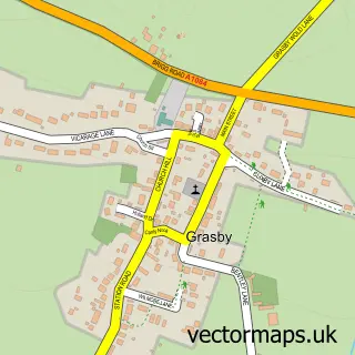
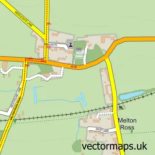
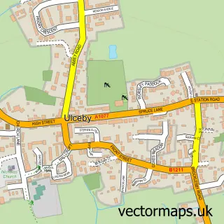
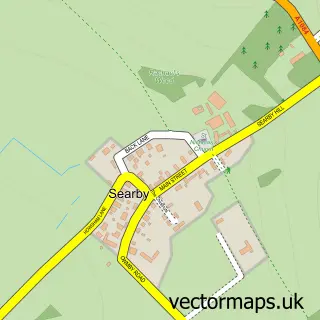
Nearby street map samples around Great Limber

More street maps in Lincolnshire
750 metre map area coverage
Boundary, postcode and point of interest information for the 750m x 750m rectangle centred on this sample map.
Boundaries containing map centre
Constituency: Gainsborough Co Const
County: Lincolnshire County
District: West Lindsey District
Icb: NHS Lincolnshire ICB
Parish: Great Limber CP
Police Force: lincolnshire
Postcode District: DN37
Postcode Sector: DN37 8
Ward: Caistor and Yarborough Ward
Nearby boundaries intersecting sample
No additional intersecting boundaries found.
Postcode coverage
POI category counts
Active Life: 1
Anglican Church: 1
Assisted Living Facility: 1
Building Supply Store: 1
Convenience Store: 1
Event Planning: 1
Hiking Trail: 1
Hotel: 1
Pet Services: 1
Post Office: 1
Sample points of interest
- Mausoleum Woods Great Limber
- St Peter
- Little Brocklesby House
- Keith Howson Fine Cabinet Makers & Joiners
- Village Stores
- Great Limber Village Hall
- brocklesby Estate Woods
- The New Inn
- NDT Doggy Daycare and Home Boarding
- Post Office-Limber
- Company solution
- The New Inn
Create a larger editable map of Great Limber
This sample shows only a 750 metre area. To create a larger map of Great Limber, use our map builder to choose your own coverage area, add titles and download editable SVG, PDF and PNG files.
Create a custom map of Great Limber