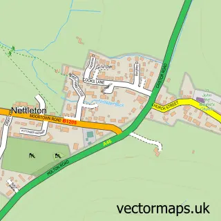
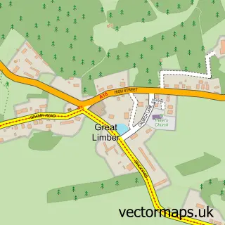
This Caistor street map is a detailed vector street map covering a 750m x 750m area. Select a larger area to create and download your own vector street map of Caistor.
The 750-metre map sample for Caistor covers 370 mapped buildings and approximately 16.4 km of road detail, of which 37 named roads are named. The immediate area includes 1 primary school and 2 secondary schools, 1 GP surgery, 2 pubs and 1 MOT station, with 2 within 2 miles. The wider area around Caistor features 1 tourism point of interest, 5 food and drink venues and 1 campsite within 2 miles. To create a larger or custom map of Caistor, the map builder lets you define your own coverage area and download editable SVG, PDF and PNG files.
Create a larger editable map of Caistor
Choose any area you need and generate a high-quality vector map instantly. Perfect for print, planning, design, business and personal use.

This Caistor street map in Lincolnshire is available as downloadable SVG, PDF and PNG map files, or as a printed map for planning, business, display, education, local information and design work. You can also create a larger custom map area using the map selector.
What this Caistor map sample shows
Caistor lies within Caistor Cp parish, part of Caistor And Yarborough ward in the West Lindsey District local authority area. The postcode geography for this area includes the LN postcode area, the LN7 postcode district and the LN7 6 postcode sector. Residents fall under the Nhs Lincolnshire Integrated Care Board for NHS services.
Local features near Caistor
Within 2 milesAmenities and services in and around Caistor.
Administrative and postcode information for Caistor
The local authority covering Caistor is West Lindsey District, within the county of Lincolnshire. The settlement lies within Caistor And Yarborough ward and Caistor Cp civil parish. The LN7 postcode district and LN7 6 postcode sector serve the immediate area. NHS provision in the area is delivered through Northern Lincolnshire And Goole Nhs Foundation Trust.
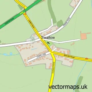
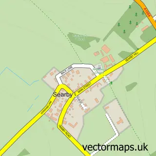
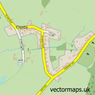
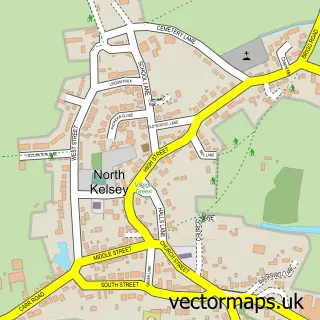
Nearby street map samples around Caistor

More street maps in Lincolnshire
750 metre map area coverage
Boundary, postcode and point of interest information for the 750m x 750m rectangle centred on this sample map.
Boundaries containing map centre
Constituency: Gainsborough Co Const
County: Lincolnshire County
District: West Lindsey District
Icb: NHS Lincolnshire ICB
Parish: Caistor CP
Police Force: lincolnshire
Postcode District: LN7
Postcode Sector: LN7 6
Ward: Caistor and Yarborough Ward
Nearby boundaries intersecting sample
No additional intersecting boundaries found.
Postcode coverage
POI category counts
Church Cathedral: 5
Building Contractor: 3
Convenience Store: 3
Elementary School: 3
Fish And Chips Restaurant: 3
Professional Services: 3
Art Gallery: 2
Automotive Repair: 2
Barber: 2
Beauty Salon: 2
Sample points of interest
- Caistor Park
- Dab Graphics Limited
- St Peter & St Paul
- Caistor Hedgehog Care
- Eden Homes Design Ltd.
- Kelly & Macpherson Architects
- Bricktree Gallery
- Caistor Arts and Heritage Centre
- Handmade By Kayles
- Quite Contrary Pottery
- Greenacres Care Home
- Paul Wiseman Electrical Contractors
Create a larger editable map of Caistor
This sample shows only a 750 metre area. To create a larger map of Caistor, use our map builder to choose your own coverage area, add titles and download editable SVG, PDF and PNG files.
Create a custom map of Caistor