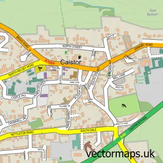
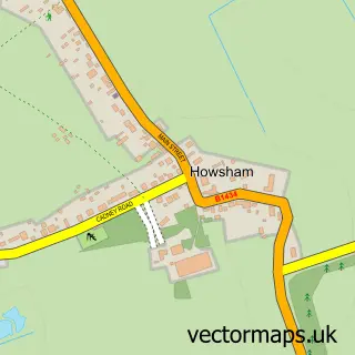
This Nettleton street map is a detailed vector street map covering a 750m x 750m area. Select a larger area to create and download your own vector street map of Nettleton.
The 750-metre map sample for Nettleton covers 177 mapped buildings and approximately 9.0 km of road detail, of which 11 named roads are named. The immediate area includes 1 school, 1 GP surgery within 2 miles, 1 pub and 2 MOT stations within 2 miles. The wider area around Nettleton features 1 food and drink venue and 2 campsites within 2 miles. To create a larger or custom map of Nettleton, the map builder lets you define your own coverage area and download editable SVG, PDF and PNG files.
Create a larger editable map of Nettleton
Choose any area you need and generate a high-quality vector map instantly. Perfect for print, planning, design, business and personal use.

This Nettleton street map in Lincolnshire is available as downloadable SVG, PDF and PNG map files, or as a printed map for planning, business, display, education, local information and design work. You can also create a larger custom map area using the map selector.
What this Nettleton map sample shows
Nettleton lies within Nettleton Cp parish, part of Wold View ward in the West Lindsey District local authority area. The postcode geography for this area includes the LN postcode area, the LN7 postcode district and the LN7 6 postcode sector. Residents fall under the Nhs Lincolnshire Integrated Care Board for NHS services.
Local features near Nettleton
Within 2 milesAmenities and services in and around Nettleton.
Administrative and postcode information for Nettleton
The local authority covering Nettleton is West Lindsey District, within the county of Lincolnshire. The settlement lies within Wold View ward and Nettleton Cp civil parish. The LN7 postcode district and LN7 6 postcode sector serve the immediate area. NHS provision in the area is delivered through Northern Lincolnshire And Goole Nhs Foundation Trust.
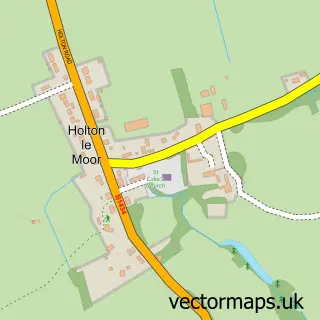
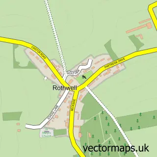
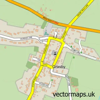
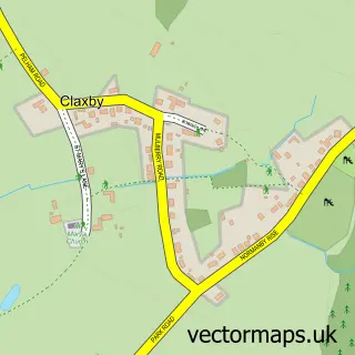
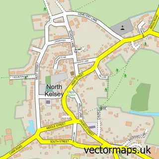
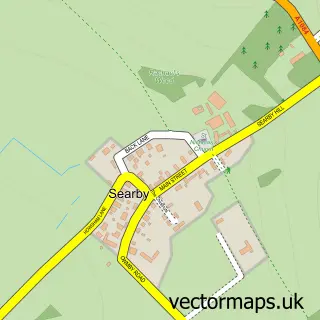
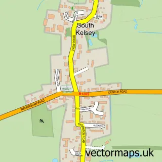
Nearby street map samples around Nettleton

More street maps in Lincolnshire
750 metre map area coverage
Boundary, postcode and point of interest information for the 750m x 750m rectangle centred on this sample map.
Boundaries containing map centre
Constituency: Gainsborough Co Const
County: Lincolnshire County
District: West Lindsey District
Icb: NHS Lincolnshire ICB
Parish: Nettleton CP
Police Force: lincolnshire
Postcode District: LN7
Postcode Sector: LN7 6
Ward: Wold View Ward
Nearby boundaries intersecting sample
No additional intersecting boundaries found.
Postcode coverage
POI category counts
Advertising Agency: 2
Anglican Church: 1
Arts And Entertainment: 1
Driving School: 1
Education: 1
Elementary School: 1
Flowers And Gifts Shop: 1
Pub: 1
Retail: 1
Shopping: 1
Sample points of interest
- The Forge Advertising & Design
- The Forge Advertising & Design Limited
- St John the Baptist
- Nettleton Village Hall
- Caistor & Nettleton School of Motoring
- Lincolnshire County Council
- Nettleton Community Primary School
- The Painted Tree
- The Salutation Inn
- J Waterman Timber Services
- The Egg Shack
Create a larger editable map of Nettleton
This sample shows only a 750 metre area. To create a larger map of Nettleton, use our map builder to choose your own coverage area, add titles and download editable SVG, PDF and PNG files.
Create a custom map of Nettleton